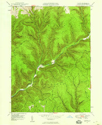
1947 Map of Oleona
USGS Topo · Published 1958About this map
Ole Bull State Park anchors this 1940s landscape, preserving the site of a mid-19th-century Norwegian colony along the banks of Kettle Creek. The map documents the remains of the Ole Bull Castle (Ruins) overlooking the valley, a poignant marker of the failed settlement attempt by the world-famous violinist. The surrounding township of Stewardson and the village of Oleona are set within a complex network of deep hollows and high ridges, where the landscape is defined by its drainage into Little Kettle Creek and Rauch Creek.
Find a feature on this map
60 named features on this map. Tap any name to fly to it.
Don’t see what you’re looking for? This feature index may not catch every label — zoom into the map to look around manually.
Map Details
Editions of this 1947 Oleona Map
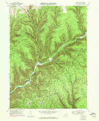
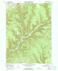
3 editions found
Other maps of this area

1943 · Hyner
USGS Topo · 1:62,500

1946 · Young Womans Creek
USGS Topo · 1:24,000

1946 · Renovo East
USGS Topo · 1:62,500

1946 · Renovo West
USGS Topo · 1:62,500

1946 · Tamarack
USGS Topo · 1:24,000

1946 · Slate Run
USGS Topo · 1:24,000

1947 · Conrad
USGS Topo · 1:62,500

1947 · Galeton
USGS Topo · 1:62,500

1947 · Lee Fire Tower
USGS Topo · 1:24,000

1947 · Short Run
USGS Topo · 1:24,000