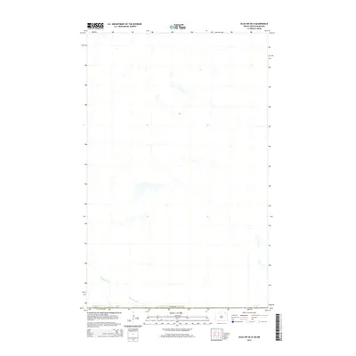
2014 Map of Olga NW OE N
USGS Topo · Published 2014About this map
Pembina River meanders across the southern portion of this landscape, carving a distinct hydrological path through northern Cavalier County. This 2014 survey focuses on a remote section of the North Dakota borderlands, where the international boundary with Canada marks the northern extent of the sheet. The terrain is characterized by a high concentration of small lakes and prairie potholes, typical of the glaciated plains in this region. This specific quadrangle is notable for its lack of surface contour data, as noted by the U.S. Geological Survey in the margin, highlighting the specialized nature of recent digital mapping efforts in areas where available elevation data did not meet accuracy standards at the time of publication.
Find a feature on this map
2 named features on this map. Tap any name to fly to it.
Don’t see what you’re looking for? This feature index may not catch every label — zoom into the map to look around manually.
Map Details
Editions of this 2014 Olga NW OE N Map
This is the sole edition of this map. No revisions or reprints were ever made.
Other maps of this area
1953 · Devils Lake
USGS Topo · 1:250,000
1956 · Devils Lake
USGS Topo · 1:250,000
1967 · Maida
USGS Topo · 1:24,000
1969 · Olga NW
USGS Topo · 1:24,000
1972 · Vang
USGS Topo · 1:24,000
1985 · Langdon
USGS Topo · 1:100,000
2011 · Olga NW
USGS Topo · 1:24,000
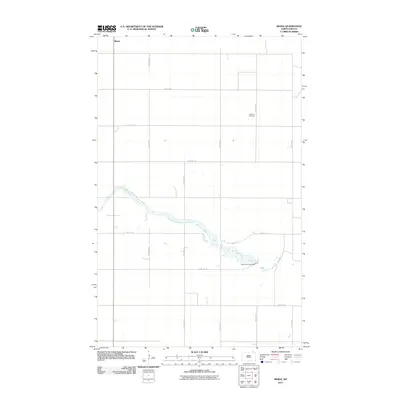
2011 · Maida
USGS Topo · 1:24,000
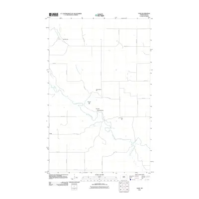
2011 · Vang
USGS Topo · 1:24,000
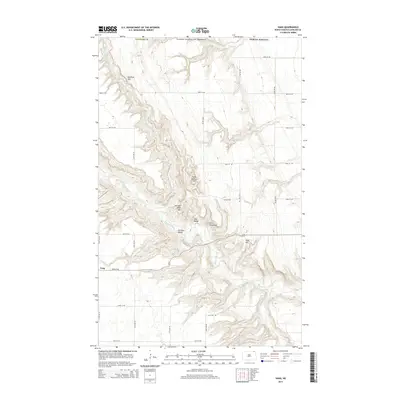
2014 · Vang
USGS Topo · 1:24,000