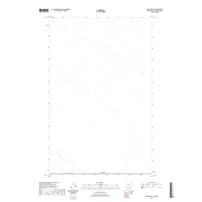
2020 Map of Olga NW OE N
USGS Topo · Published 2020About this map
The Pembina River winds through this sparsely populated borderland where North Dakota meets Canada. This 2020 survey of the Olga NW OE N quadrangle reveals a landscape defined by natural drainage patterns and the geometric precision of the Public Land Survey System, specifically T164n R59w. The river's meandering course provides the primary topographic variation in an area dominated by agricultural sections. Unlike more developed regions, this map shows a quiet frontier where the international boundary and local township lines provide the principal framework for the land. It offers a clear look at the contemporary hydrology and administrative boundaries of northern Cavalier County before any modern urban encroachment.
Find a feature on this map
3 named features on this map. Tap any name to fly to it.
Don’t see what you’re looking for? This feature index may not catch every label — zoom into the map to look around manually.
Map Details
Editions of this 2020 Olga NW OE N Map
This is the sole edition of this map. No revisions or reprints were ever made.
Other maps of this area

1953 · Devils Lake
USGS Topo · 1:250,000

1956 · Devils Lake
USGS Topo · 1:250,000

1967 · Maida
USGS Topo · 1:24,000

1969 · Olga NW
USGS Topo · 1:24,000
1972 · Vang
USGS Topo · 1:24,000

1985 · Langdon
USGS Topo · 1:100,000
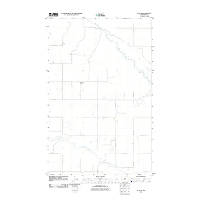
2011 · Olga NW
USGS Topo · 1:24,000
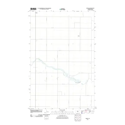
2011 · Maida
USGS Topo · 1:24,000
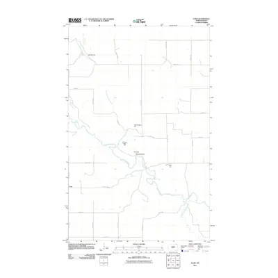
2011 · Vang
USGS Topo · 1:24,000
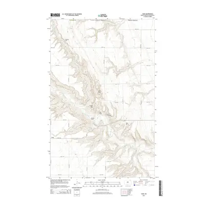
2014 · Vang
USGS Topo · 1:24,000