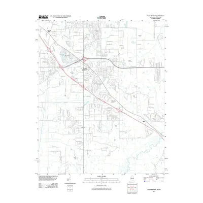
2012 Map of Olive Branch
USGS Topo · Published 2012About this map
Olive Branch serves as the focal point of this Mississippi-Tennessee border region, showcasing a landscape where suburban growth meets established rural landmarks. The survey documents the area's transition into a regional hub, anchored by the Olive Branch Airport and Davis Field Airport. Traces of the region's earlier character are preserved in numerous family and community burial grounds, such as Blocker Cem, Clemonts Cem, and Wiggins Cem, which dot the outskirts of the primary settlement. The natural drainage of the territory is defined by the Coldwater River in the southeast and the meandering Camp Cr in the north. Neighboring communities like Fairhaven, Cedarview, and Miller are connected by a developing road network including Goodman Rd and Church Rd, illustrating the expansion of the Memphis metropolitan fringe during this era.
Find a feature on this map
42 named features on this map. Tap any name to fly to it.
Don’t see what you’re looking for? This feature index may not catch every label — zoom into the map to look around manually.
Map Details
Editions of this 2012 Olive Branch Map
This is the sole edition of this map. No revisions or reprints were ever made.
Other maps of this area

1943 · Collierville
USGS Topo · 1:62,500

1944 · Hernando
USGS Topo · 1:62,500

1948 · Byhalia
USGS Topo · 1:62,500

1953 · Collierville
USGS Topo · 1:50,000

1956 · Blytheville
USGS Topo · 1:250,000

1956 · Tupelo
USGS Topo · 1:250,000

1958 · Tupelo
USGS Topo · 1:250,000

1959 · Blytheville
USGS Topo · 1:250,000

1960 · Bartlett
USGS Topo · 1:62,500

1961 · Bartlett
USGS Topo · 1:62,500