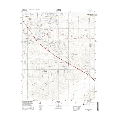
2015 Map of Olive Branch
USGS Topo · Published 2015About this map
Olive Branch and the surrounding DeSoto County landscape are captured here along the Tennessee Mississippi border. The map documents a transition from the southern edges of Memphis and Collierville into a terrain defined by numerous family-named cemeteries and small watercourses like Camp Creek and Nolehoe Creek. Residential growth is evident near Maywood Lake and the community of Fairhaven.
Find a feature on this map
31 named features on this map. Tap any name to fly to it.
Don’t see what you’re looking for? This feature index may not catch every label — zoom into the map to look around manually.
Map Details
Editions of this 2015 Olive Branch Map
This is the sole edition of this map. No revisions or reprints were ever made.
Other maps of this area

1943 · Collierville
USGS Topo · 1:62,500

1944 · Hernando
USGS Topo · 1:62,500

1948 · Byhalia
USGS Topo · 1:62,500

1953 · Collierville
USGS Topo · 1:50,000

1956 · Blytheville
USGS Topo · 1:250,000

1956 · Tupelo
USGS Topo · 1:250,000

1958 · Tupelo
USGS Topo · 1:250,000

1959 · Blytheville
USGS Topo · 1:250,000

1960 · Bartlett
USGS Topo · 1:62,500

1961 · Bartlett
USGS Topo · 1:62,500