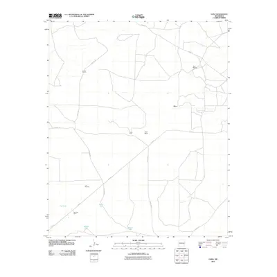
2010 Map of Olive
USGS Topo · Published 2010About this map
The high desert rangelands of eastern New Mexico are defined by a network of ranching infrastructure and isolated landmarks in this 2010 survey. The settlement of Olive sits near the eastern edge of the quadrangle, serving as a focal point for the surrounding cattle country. Water management is essential to the landscape, evidenced by the numerous named stock tanks scattered across the basin, including Flat Tank, Bar V Tank, Brawley Tank, and Gambill Tank.
Find a feature on this map
17 named features on this map. Tap any name to fly to it.
Don’t see what you’re looking for? This feature index may not catch every label — zoom into the map to look around manually.
Map Details
Editions of this 2010 Olive Map
This is the sole edition of this map. No revisions or reprints were ever made.
Other maps of this area

1954 · Fort Sumner
USGS Topo · 1:250,000

1954 · Clovis
USGS Topo · 1:250,000

1954 · Brownfield
USGS Topo · 1:250,000

1955 · Roswell
USGS Topo · 1:250,000

1958 · Brownfield
USGS Topo · 1:250,000

1958 · Fort Sumner
USGS Topo · 1:250,000

1958 · Clovis
USGS Topo · 1:250,000

1958 · Roswell
USGS Topo · 1:250,000

1962 · Roswell
USGS Topo · 1:250,000

1962 · Brownfield
USGS Topo · 1:250,000