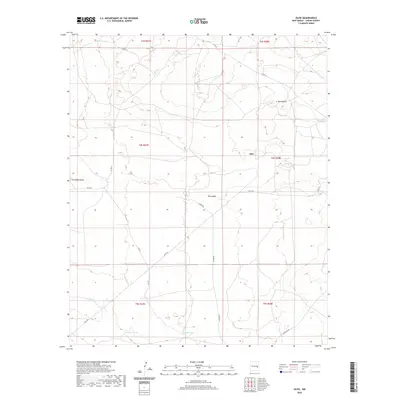
2020 Map of Olive
USGS Topo · Published 2020About this map
Olive occupies the center of this High Plains landscape in Chaves County, situated at a junction of rural routes including Olive Rd and Gainer Rd. This area is defined by its agricultural and ranching infrastructure, where water management is critical to the local economy. A network of named reservoirs such as Flat Tank, Bar V Tank, Brawley Tank, and Gambit Tank are distributed across the township sections, supporting livestock in an arid environment.
Find a feature on this map
20 named features on this map. Tap any name to fly to it.
Don’t see what you’re looking for? This feature index may not catch every label — zoom into the map to look around manually.
Map Details
Editions of this 2020 Olive Map
This is the sole edition of this map. No revisions or reprints were ever made.
Other maps of this area
1954 · Fort Sumner
USGS Topo · 1:250,000

1954 · Clovis
USGS Topo · 1:250,000

1954 · Brownfield
USGS Topo · 1:250,000
1955 · Roswell
USGS Topo · 1:250,000

1958 · Brownfield
USGS Topo · 1:250,000
1958 · Fort Sumner
USGS Topo · 1:250,000

1958 · Clovis
USGS Topo · 1:250,000
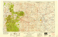
1958 · Roswell
USGS Topo · 1:250,000
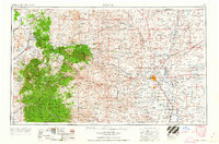
1962 · Roswell
USGS Topo · 1:250,000

1962 · Brownfield
USGS Topo · 1:250,000