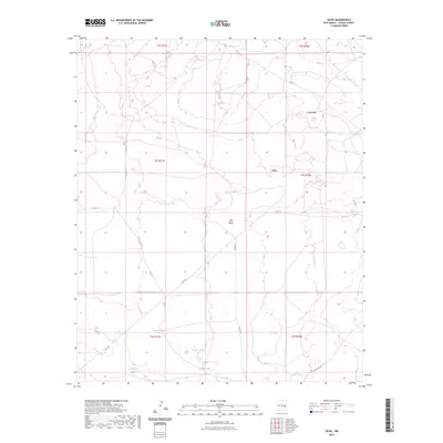
2023 Map of Olive
USGS Topo · Published 2023About this map
Olive occupies a central position within this part of Chaves County, characterized by a complex of water management features essential to the high plains landscape. The presence of several catchment points, including Bar V Tank, Gambill Tank, and Brawley Tank, illustrates the critical importance of water storage for ranching operations in this arid region. The terrain is marked by distinctive geological formations such as the Twin Buttes to the northeast and the depression of Olive Basin. A network of rural routes, including Olive Rd, Gainer Rd, and Lovington Rd, connects these remote outposts, tracing the paths of commerce and land management across the township and range divisions of the Pecos Valley periphery.
Find a feature on this map
20 named features on this map. Tap any name to fly to it.
Don’t see what you’re looking for? This feature index may not catch every label — zoom into the map to look around manually.
Map Details
Editions of this 2023 Olive Map
This is the sole edition of this map. No revisions or reprints were ever made.
Other maps of this area

1954 · Fort Sumner
USGS Topo · 1:250,000

1954 · Clovis
USGS Topo · 1:250,000

1954 · Brownfield
USGS Topo · 1:250,000

1955 · Roswell
USGS Topo · 1:250,000

1958 · Brownfield
USGS Topo · 1:250,000

1958 · Fort Sumner
USGS Topo · 1:250,000

1958 · Clovis
USGS Topo · 1:250,000

1958 · Roswell
USGS Topo · 1:250,000

1962 · Roswell
USGS Topo · 1:250,000

1962 · Brownfield
USGS Topo · 1:250,000