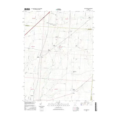
2016 Map of Olive Green
USGS Topo · Published 2016About this map
Big Walnut Creek and its many tributaries, including Little Walnut Cr and Prairie Run, carve a network through this corner of Delaware and Morrow counties. The landscape is dotted with small, historic crossroads settlements like Olive Green, Stark Corners, and North Condit, reflecting a rural settlement pattern established along early township roads. Genealogists will find a high density of small family and community burial sites, such as the Porter-Stark Cem and the uniquely named Preacher Daveys Graveyard. The inclusion of Chambers Bridge and the Mount Pleasant Methodist Episcopal Churchyard provides specific touchpoints for local history, while the proximity of Sunbury to the southwest suggests the gradual transition from agricultural hinterland to suburban periphery. The terrain varies from the flat agricultural fields to more incised valleys like Monkey Hollow, which break the rectilinear grid of the county road system.
Find a feature on this map
93 named features on this map. Tap any name to fly to it.
Don’t see what you’re looking for? This feature index may not catch every label — zoom into the map to look around manually.
Map Details
Editions of this 2016 Olive Green Map
This is the sole edition of this map. No revisions or reprints were ever made.
Other maps of this area
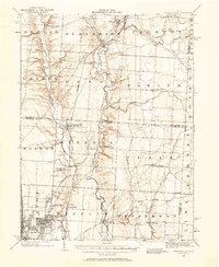
1902 · Westerville
USGS Topo · 1:62,500
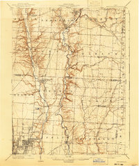
1904 · Westerville
USGS Topo · 1:62,500
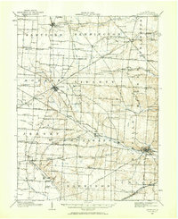
1908 · Granville
USGS Topo · 1:62,500
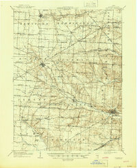
1910 · Granville
USGS Topo · 1:62,500
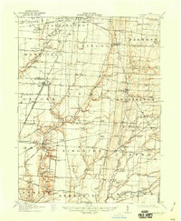
1915 · Marengo
USGS Topo · 1:62,500
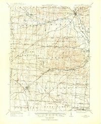
1915 · Fredericktown
USGS Topo · 1:62,500
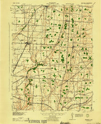
1943 · Marengo
USGS Topo · 1:62,500
1943 · Fredericktown
USGS Topo · 1:62,500
1950 · Marion
USGS Topo · 1:250,000
1955 · Sunbury
USGS Topo · 1:24,000