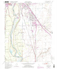
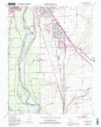
1952 Map of Olivehurst
USGS Topo · Published 1974About this map
The Feather River defines the western edge of this territory, where its winding course creates landforms like Shanghai Bend and Eliza Bend. This mid-century landscape is shaped by the transition from rural ranching to suburban growth, particularly visible in the expanding grid of Olivehurst and the smaller settlements of Arboga and Alicia. The influence of the Southern Pacific and Sacramento Northern railroads is prominent, as they parallel the river and highway, connecting these communities to the larger Sacramento Valley economy.
Find a feature on this map
57 named features on this map. Tap any name to fly to it.
Don’t see what you’re looking for? This feature index may not catch every label — zoom into the map to look around manually.
Map Details
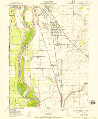
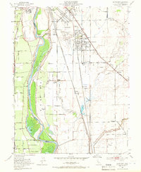
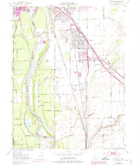
Editions of this 1952 Olivehurst Map
5 editions found
Other maps of this area

1888 · Marysville
USGS Topo · 1:125,000

1888 · Smartsville
USGS Topo · 1:125,000

1891 · Sacramento
USGS Topo · 1:125,000

1891 · Marysville
USGS Topo · 1:125,000

1891 · Smartsville
USGS Topo · 1:125,000

1892 · Sacramento
USGS Topo · 1:125,000

1892 · Smartsville
USGS Topo · 1:125,000

1893 · Sacramento
USGS Topo · 1:125,000

1894 · Smartsville
USGS Topo · 1:125,000

1894 · Marysville
USGS Topo · 1:125,000