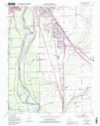
1952 Map of Olivehurst
USGS Topo · Published 1985About this map
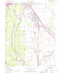
The Feather River defines the landscape of this mid-century survey, winding south through the New Helvetia Grant past Shanghai Bend and Eliza Bend. The riparian corridor is marked by numerous water bodies including Messick Lake and Abbott Lake, while the adjacent agricultural lands are crisscrossed by irrigation features like Gilsizer Slough and Algodon Slough. The settlement of Olivehurst stands as a primary hub, showing significant residential development supported by local institutions like Ella Sch and Olivehurst School.
Find a feature on this map
59 named features on this map. Tap any name to fly to it.
Don’t see what you’re looking for? This feature index may not catch every label — zoom into the map to look around manually.
Map Details
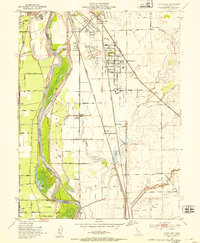
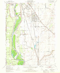
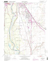
Editions of this 1952 Olivehurst Map
5 editions found
Other maps of this area

1888 · Marysville
USGS Topo · 1:125,000

1888 · Smartsville
USGS Topo · 1:125,000

1891 · Sacramento
USGS Topo · 1:125,000

1891 · Marysville
USGS Topo · 1:125,000

1891 · Smartsville
USGS Topo · 1:125,000

1892 · Sacramento
USGS Topo · 1:125,000

1892 · Smartsville
USGS Topo · 1:125,000

1893 · Sacramento
USGS Topo · 1:125,000

1894 · Smartsville
USGS Topo · 1:125,000

1894 · Marysville
USGS Topo · 1:125,000