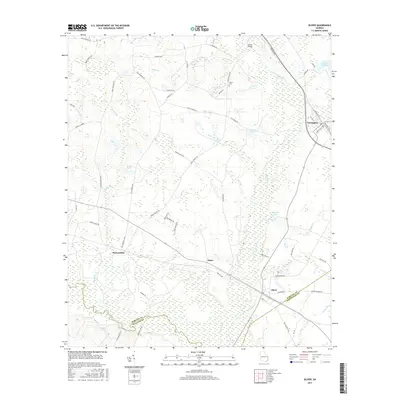
2017 Map of Oliver
USGS Topo · Published 2017About this map
The Ogeechee River snakes along the southern boundary of this Screven County landscape, defining a wetland-rich region where the border with Bulloch County is established by the river's channel. The settlement of Newington occupies the northeastern corner, serving as a hub for local routes like Savannah Hwy and Industrial Blvd. To the west and south, the communities of Halcyondale, Stalco, and Oliver are linked by a network of rural roads such as Halcyondale Rd and Union Church Rd.
Find a feature on this map
59 named features on this map. Tap any name to fly to it.
Don’t see what you’re looking for? This feature index may not catch every label — zoom into the map to look around manually.
Map Details
Editions of this 2017 Oliver Map
This is the sole edition of this map. No revisions or reprints were ever made.
Other maps of this area

1918 · Oliver
USGS Topo · 1:62,500

1919 · Shirley
USGS Topo · 1:62,500

1919 · Egypt
USGS Topo · 1:62,500

1920 · Oliver
USGS Topo · 1:62,500

1921 · Brooklet
USGS Topo · 1:62,500

1939 · Egypt
USGS Topo · 1:62,500

1943 · Brooklet
USGS Topo · 1:62,500

1943 · Egypt
USGS Topo · 1:62,500

1943 · Shirley
USGS Topo · 1:62,500

1943 · Millen
USGS Topo · 1:125,000