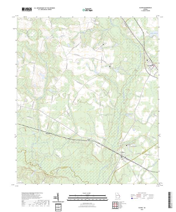
2024 Map of Oliver
USGS Topo · Published 2024About this map
The Ogeechee River snakes through the southern reaches of this landscape, defining the county line between Bulloch and Screven. To the north, the town of Newington is situated at the intersection of Savannah Hwy and Hudson Ferry Rd, serving as a primary local node. Further south along the rail corridor, the smaller settlements of Halcyondale, Stalco, and Oliver reflect the historic transportation patterns of the coastal plain.
Find a feature on this map
66 named features on this map. Tap any name to fly to it.
Don’t see what you’re looking for? This feature index may not catch every label — zoom into the map to look around manually.
Map Details
Editions of this 2024 Oliver Map
This is the sole edition of this map. No revisions or reprints were ever made.
Other maps of this area

1918 · Oliver
USGS Topo · 1:62,500

1919 · Shirley
USGS Topo · 1:62,500

1919 · Egypt
USGS Topo · 1:62,500

1920 · Oliver
USGS Topo · 1:62,500

1921 · Brooklet
USGS Topo · 1:62,500

1939 · Egypt
USGS Topo · 1:62,500

1943 · Brooklet
USGS Topo · 1:62,500

1943 · Egypt
USGS Topo · 1:62,500

1943 · Shirley
USGS Topo · 1:62,500

1943 · Millen
USGS Topo · 1:125,000