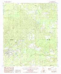
1984 Map of Olla East
USGS Topo · Published 1985About this map
Olla and the surrounding piney woods of central Louisiana are documented in this 1980s-era study, which captures the region just as modern infrastructure began to weave through the older timber-and-rail landscape. The Missouri Pacific railroad serves as a primary north-south spine, connecting the settlements of Standard, Spaulding, and Kelly. This corridor defines the economic character of the era, where small town centers and industrial rail access met the expanding reach of the Olla Airport.
Find a feature on this map
18 named features on this map. Tap any name to fly to it.
Don’t see what you’re looking for? This feature index may not catch every label — zoom into the map to look around manually.
Map Details
Editions of this 1984 Olla East Map
This is the sole edition of this map. No revisions or reprints were ever made.
Other maps of this area

1940 · Columbia
USGS Topo · 1:62,500

1953 · Alexandria
USGS Topo · 1:250,000

1954 · Sikes
USGS Topo · 1:62,500

1954 · Tullos
USGS Topo · 1:62,500

1955 · Shreveport
USGS Topo · 1:250,000

1955 · Alexandria
USGS Topo · 1:250,000

1955 · Olla
USGS Topo · 1:62,500

1956 · Shreveport
USGS Topo · 1:250,000

1957 · Columbia
USGS Topo · 1:62,500

1984 · Shreveport
USGS Topo · 1:250,000