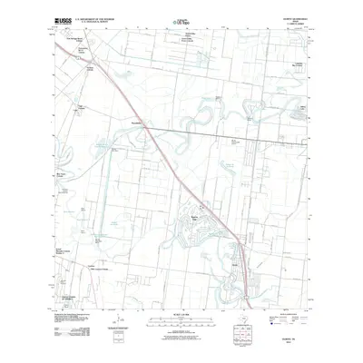
2010 Map of Olmito
USGS Topo · Published 2010About this map
Rancho Viejo and the surrounding lower Rio Grande Valley landscape are defined by an intricate network of oxbow lakes, known locally as resacas. These winding waterways, including the Resaca de las Flores and Resaca del Jardin, represent ancient abandoned channels of the Rio Grande, which forms the southern boundary of this area at Cantu Bend. The 2010 landscape shows a distinct pattern of modern settlement through various colonias such as Green Valley Farms Colonia and Rice Tracts Colonia, interspersed with older agricultural roots at Wardner Ranch. Infrastructure like the AG-Air Incorporated Airport and various water control structures, including the Rancho Viejo Dam, highlight the region's managed hydraulic environment. This intersection of natural river migration and deliberate land development provides a clear view of how water shaped the residential layout near Olmito.
Find a feature on this map
92 named features on this map. Tap any name to fly to it.
Don’t see what you’re looking for? This feature index may not catch every label — zoom into the map to look around manually.
Map Details
Editions of this 2010 Olmito Map
This is the sole edition of this map. No revisions or reprints were ever made.
Other maps of this area

1929 · Rio Hondo
USGS Topo · 1:24,000

1929 · Harlingen
USGS Topo · 1:24,000

1929 · La Paloma
USGS Topo · 1:24,000

1930 · Los Fresnos
USGS Topo · 1:24,000

1930 · West Brownsville
USGS Topo · 1:24,000

1930 · Barreda
USGS Topo · 1:24,000

1930 · Laguna Atascosa
USGS Topo · 1:24,000

1930 · East Brownsville
USGS Topo · 1:24,000

1932 · Rio Hondo
USGS Topo · 1:31,680

1932 · Harlingen
USGS Topo · 1:31,680