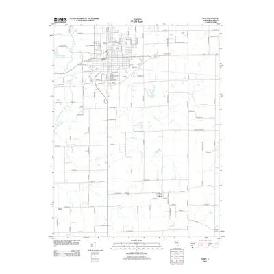
2012 Map of Olney
USGS Topo · Published 2012About this map
Olney serves as the central hub of this Richland County landscape, where the city grid is bordered by the Fox River to the west and Big Creek to the east. The 2012 survey captures the community's established infrastructure, including Olney Central College and several historic burial grounds such as Haven Hill Cemetery and Saint Joseph Cemetery. These sites, along with others like Maple Dale Cemetery, provide significant data for genealogical research in the area.
Find a feature on this map
144 named features on this map. Tap any name to fly to it.
Don’t see what you’re looking for? This feature index may not catch every label — zoom into the map to look around manually.
Map Details
Editions of this 2012 Olney Map
This is the sole edition of this map. No revisions or reprints were ever made.
Other maps of this area

1910 · Hardinville
USGS Topo · 1:62,500

1911 · Sumner
USGS Topo · 1:62,500

1913 · Sumner
USGS Topo · 1:62,500

1941 · Newton
USGS Topo · 1:62,500

1943 · Newton
USGS Topo · 1:62,500

1949 · Olney
USGS Topo · 1:62,500

1956 · Vincennes
USGS Topo · 1:250,000

1957 · Vincennes
USGS Topo · 1:250,000

1958 · Vincennes
USGS Topo · 1:250,000

1958 · Belleville
USGS Topo · 1:250,000