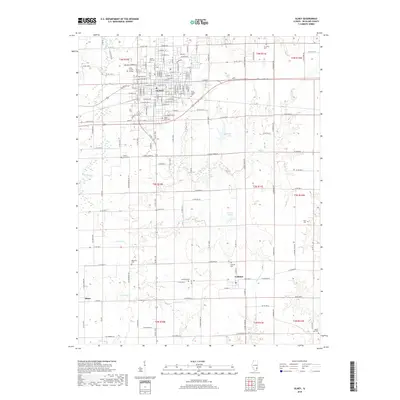
2018 Map of Olney
USGS Topo · Published 2018About this map
Olney serves as the regional hub of Richland County, defined by its grid of residential streets and the campus of Olney Central College. The landscape is a mix of agricultural plots and small water bodies, including Millers Lake and Jordan Lake, which are fed by the winding course of the Fox River and Little Fox Cr. The survey illustrates the rural infrastructure surrounding the town, with numerous named county roads connecting smaller outposts like Calhoun and Elbow.
Find a feature on this map
154 named features on this map. Tap any name to fly to it.
Don’t see what you’re looking for? This feature index may not catch every label — zoom into the map to look around manually.
Map Details
Editions of this 2018 Olney Map
This is the sole edition of this map. No revisions or reprints were ever made.
Other maps of this area

1910 · Hardinville
USGS Topo · 1:62,500

1911 · Sumner
USGS Topo · 1:62,500

1913 · Sumner
USGS Topo · 1:62,500

1941 · Newton
USGS Topo · 1:62,500

1943 · Newton
USGS Topo · 1:62,500

1949 · Olney
USGS Topo · 1:62,500

1956 · Vincennes
USGS Topo · 1:250,000

1957 · Vincennes
USGS Topo · 1:250,000

1958 · Vincennes
USGS Topo · 1:250,000

1958 · Belleville
USGS Topo · 1:250,000