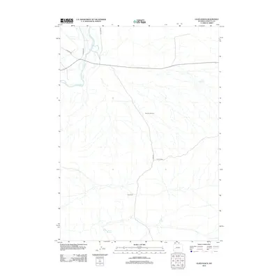
2012 Map of Olsen Ranch
USGS Topo · Published 2012About this map
Olsen Ranch serves as a primary local landmark in this pocket of Sublette County, where the landscape is defined by traditional high-desert ranching infrastructure and water management. The New Fork River cuts through the northwest corner, a vital water source for the region's agricultural operations. Evidence of large-scale livestock management is visible in the presence of the Blue Rim Drift Fence, which stretches across the center of the terrain. Local travel and access are facilitated by a network of rural routes including The Mesa Rd, Paradise Rd, and Boulder S Rd. These roads connect the ranching heartland to outlying water resources like Mack Reservoir and Granite Reservoir, reflecting a landscape meticulously organized around the requirements of the semi-arid environment.
Find a feature on this map
10 named features on this map. Tap any name to fly to it.
Don’t see what you’re looking for? This feature index may not catch every label — zoom into the map to look around manually.
Map Details
Editions of this 2012 Olsen Ranch Map
This is the sole edition of this map. No revisions or reprints were ever made.
Other maps of this area

1955 · Lander
USGS Topo · 1:250,000

1958 · Lander
USGS Topo · 1:250,000

1961 · Lander
USGS Topo · 1:250,000
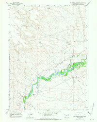
1964 · Two Buttes Reservoir
USGS Topo · 1:24,000
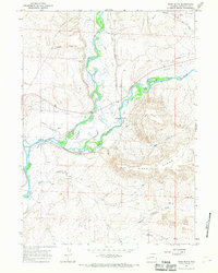
1964 · Ross Butte
USGS Topo · 1:24,000
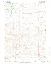
1964 · Olsen Ranch
USGS Topo · 1:24,000
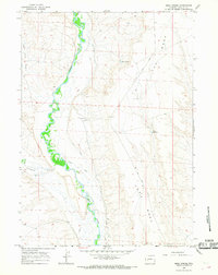
1964 · Mesa Spring
USGS Topo · 1:24,000
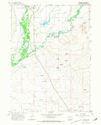
1964 · Boulder
USGS Topo · 1:24,000
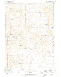
1969 · Sugar Loaf NW
USGS Topo · 1:24,000
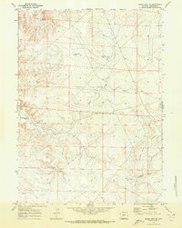
1969 · Sugar Loaf NE
USGS Topo · 1:24,000