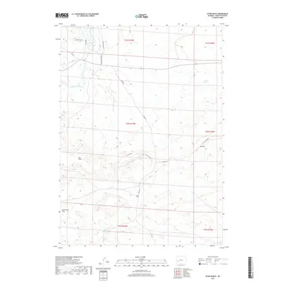
2017 Map of Olsen Ranch
USGS Topo · Published 2017About this map
Oregon Trail Rd cuts across the northern reaches of this Sublette County landscape, tracing a historic path through terrain defined by high ridges and seasonal drainages. The New Fork River winds through the northwestern corner, providing a vital water source in an otherwise arid environment where ranching remains a primary influence. The eponymous Olsen Ranch is situated south of Burma Rd, anchoring the local geography amidst features like Ross Ridge and the poetically named En Tus Sueños.
Find a feature on this map
20 named features on this map. Tap any name to fly to it.
Don’t see what you’re looking for? This feature index may not catch every label — zoom into the map to look around manually.
Map Details
Editions of this 2017 Olsen Ranch Map
This is the sole edition of this map. No revisions or reprints were ever made.
Other maps of this area

1955 · Lander
USGS Topo · 1:250,000

1958 · Lander
USGS Topo · 1:250,000

1961 · Lander
USGS Topo · 1:250,000
1964 · Two Buttes Reservoir
USGS Topo · 1:24,000
1964 · Ross Butte
USGS Topo · 1:24,000
1964 · Olsen Ranch
USGS Topo · 1:24,000
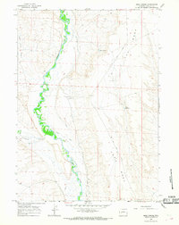
1964 · Mesa Spring
USGS Topo · 1:24,000
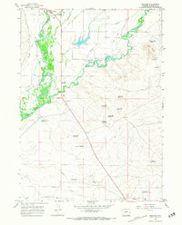
1964 · Boulder
USGS Topo · 1:24,000
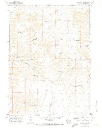
1969 · Sugar Loaf NW
USGS Topo · 1:24,000
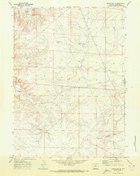
1969 · Sugar Loaf NE
USGS Topo · 1:24,000