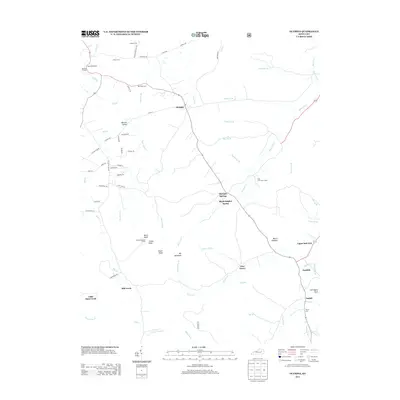
2013 Map of Olympia
USGS Topo · Published 2013About this map
Bourbon Furnace and the Slate Blockhouse stand at the northwestern edge of this landscape, marking the intersection of early Kentucky industry and frontier defense. The settlement of Olympia serves as a central hub, while the terrain to the south rises toward Big Mountain and the peaks of North Knob, Center Knob, and South Knob. Mineral interests are evident in the naming of Black Sulpher Spring near Olympia Springs and the presence of Ore Mines Rd. Genealogists will find several family burial sites, including Old Fields Cem, Shrout Cem, and Terrell Cem. The drainage network is complex, defined by the Clark Fork and Mud Lick Cr, which flow through a geography of steep ridges and narrow valleys like Blevins Valley.
Find a feature on this map
77 named features on this map. Tap any name to fly to it.
Don’t see what you’re looking for? This feature index may not catch every label — zoom into the map to look around manually.
Map Details
Editions of this 2013 Olympia Map
This is the sole edition of this map. No revisions or reprints were ever made.
Other maps of this area

1892 · Beattyville
USGS Topo · 1:125,000

1929 · Salt Lick
USGS Topo · 1:62,500

1934 · Salt Lick
USGS Topo · 1:62,500

1952 · Preston
USGS Topo · 1:24,000

1952 · Owingsville
USGS Topo · 1:24,000

1952 · Scranton
USGS Topo · 1:24,000

1952 · Frenchburg
USGS Topo · 1:24,000

1952 · Means
USGS Topo · 1:24,000

1953 · Olympia
USGS Topo · 1:24,000

1953 · Farmers
USGS Topo · 1:24,000