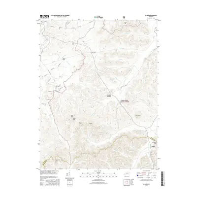
2016 Map of Olympia
USGS Topo · Published 2016About this map
The Daniel Boone National Forest dominates the eastern and southern reaches of this landscape, where the terrain breaks into complex ridges and hollows like Pigeon Roost Hollow and Richard Hollow. The settlement pattern follows the drainage of Slate Creek and its many tributaries, with the village of Olympia and the historic Olympia Springs serving as central points. For genealogists, the map identifies several small burial sites including Jackson Cem and Old Fields Cem, often tucked near family-named roads like Blevins Valley Rd or Crouch Rd. High points such as Mt Olympus and Carrington Rock overlook the border between Bath and Menifee counties, marking the transition from the rolling valley floors to the more heavily forested uplands.
Find a feature on this map
71 named features on this map. Tap any name to fly to it.
Don’t see what you’re looking for? This feature index may not catch every label — zoom into the map to look around manually.
Map Details
Editions of this 2016 Olympia Map
This is the sole edition of this map. No revisions or reprints were ever made.
Other maps of this area

1892 · Beattyville
USGS Topo · 1:125,000

1929 · Salt Lick
USGS Topo · 1:62,500

1934 · Salt Lick
USGS Topo · 1:62,500

1952 · Preston
USGS Topo · 1:24,000

1952 · Owingsville
USGS Topo · 1:24,000

1952 · Scranton
USGS Topo · 1:24,000

1952 · Frenchburg
USGS Topo · 1:24,000

1952 · Means
USGS Topo · 1:24,000

1953 · Olympia
USGS Topo · 1:24,000

1953 · Farmers
USGS Topo · 1:24,000