
1956 Map of Omaha North
USGS Topo · Published 1958About this map
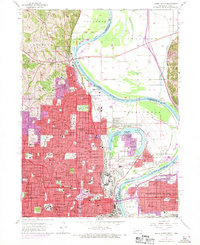
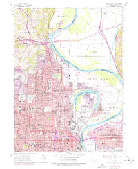
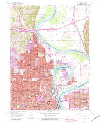
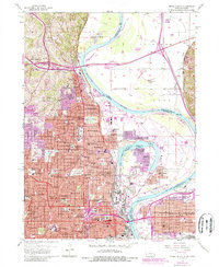
The Missouri River defines the landscape of this mid-century survey, winding between the urban expansion of North Omaha and the floodplains leading toward Council Bluffs. The map documents a dense network of civic and religious institutions, from Creighton University and Duchesne College to the Joslyn Memorial Art Museum. Significant historic infrastructure is visible, including the Mormon Bridge and the sprawling grounds of Fort Omaha, formerly a frontier military post.
Find a feature on this map
91 named features on this map. Tap any name to fly to it.
Don’t see what you’re looking for? This feature index may not catch every label — zoom into the map to look around manually.
Map Details
Editions of this 1956 Omaha North Map
5 editions found
Other maps of this area

1893 · Omaha
USGS Topo · 1:62,500

1893 · Fremont
USGS Topo · 1:125,000

1896 · Fremont
USGS Topo · 1:125,000

1954 · Omaha
USGS Topo · 1:250,000

1955 · Fremont
USGS Topo · 1:250,000

1956 · Ralston
USGS Topo · 1:24,000

1956 · Irvington
USGS Topo · 1:24,000

1956 · Council Bluffs North
USGS Topo · 1:24,000

1956 · Council Bluffs South
USGS Topo · 1:24,000

1956 · Omaha South
USGS Topo · 1:24,000