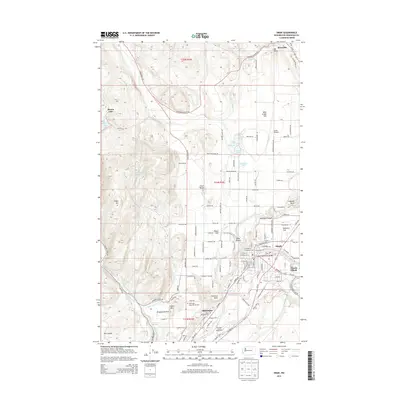
2014 Map of Omak
USGS Topo · Published 2014About this map
Okanogan River defines the lower corridor of this 2014 survey, where the neighboring communities of Omak and Okanogan serve as the primary population centers. The map documents a diverse landscape of river bottomlands and high desert plateaus, including Pogue Flat, Robinson Flat, and Progressive Flat. Agricultural infrastructure is prominent, with the Low Line Ditch and Main Ditch providing critical irrigation across the arid terrain.
Find a feature on this map
95 named features on this map. Tap any name to fly to it.
Don’t see what you’re looking for? This feature index may not catch every label — zoom into the map to look around manually.
Map Details
Editions of this 2014 Omak Map
This is the sole edition of this map. No revisions or reprints were ever made.
Other maps of this area

1902 · Osoyoos
USGS Topo · 1:125,000

1904 · Osoyoos
USGS Topo · 1:125,000

1905 · Okanogan
USGS Topo · 1:125,000

1906 · Chopaka
USGS Topo · 1:125,000

1953 · Omak Lake
USGS Topo · 1:62,500

1954 · Okanogan
USGS Topo · 1:250,000

1957 · Okanogan
USGS Topo · 1:62,500

1957 · Conconully
USGS Topo · 1:62,500

1957 · Tonasket
USGS Topo · 1:62,500

1958 · Okanogan
USGS Topo · 1:250,000