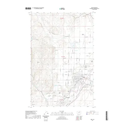
2020 Map of Omak
USGS Topo · Published 2020About this map
The Okanogan River winds through this Central Washington landscape, connecting the neighboring communities of Omak and Okanogan as they appeared in 2020. The region's agricultural character is evident through an intricate network of irrigation infrastructure, including the High Line Ditch, Low Line Ditch, and Main Ditch, which redirect water from sources like Salmon Creek to the surrounding flats. These water systems are critical to the local economy, supporting orchards and fields near Pogue Flat and Robinson Flat.
Find a feature on this map
127 named features on this map. Tap any name to fly to it.
Don’t see what you’re looking for? This feature index may not catch every label — zoom into the map to look around manually.
Map Details
Editions of this 2020 Omak Map
This is the sole edition of this map. No revisions or reprints were ever made.
Other maps of this area

1902 · Osoyoos
USGS Topo · 1:125,000

1904 · Osoyoos
USGS Topo · 1:125,000

1905 · Okanogan
USGS Topo · 1:125,000

1906 · Chopaka
USGS Topo · 1:125,000

1953 · Omak Lake
USGS Topo · 1:62,500

1954 · Okanogan
USGS Topo · 1:250,000

1957 · Okanogan
USGS Topo · 1:62,500

1957 · Conconully
USGS Topo · 1:62,500

1957 · Tonasket
USGS Topo · 1:62,500

1958 · Okanogan
USGS Topo · 1:250,000