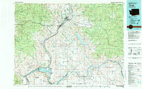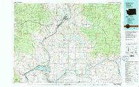
1983 Map of Omak
USGS Topo · Published 1983About this map
The Okanogan River corridor defines the heart of this region, winding past the centers of Omak and Okanogan, where the Okanogan County Courthouse stands as a local landmark. The landscape is a study in diverse land use, from the residential and commercial areas of Brewster and Pateros at the southern edge to the extensive boundaries of the Colville Indian Reservation and the Okanogan National Forest. Historic mining activity is evident at the Arlington Mine and Red Shirt Mine, while modern engineering is represented by the Chief Joseph Dam on the Columbia River. Water resources vary from the large Omak Lake to smaller features like Soap Lake and Duck Lake. Scattered through the hills are remote sites like St. Marys Mission and several small cemeteries, offering a detailed view of the rural settlement patterns that existed in the early 1980s.
Find a feature on this map
119 named features on this map. Tap any name to fly to it.
Don’t see what you’re looking for? This feature index may not catch every label — zoom into the map to look around manually.
Map Details
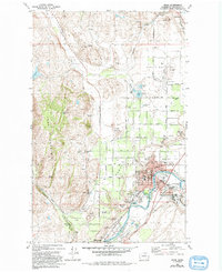
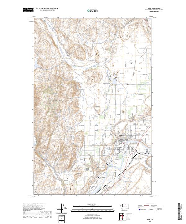
Editions of this 1983 Omak Map
2 editions found