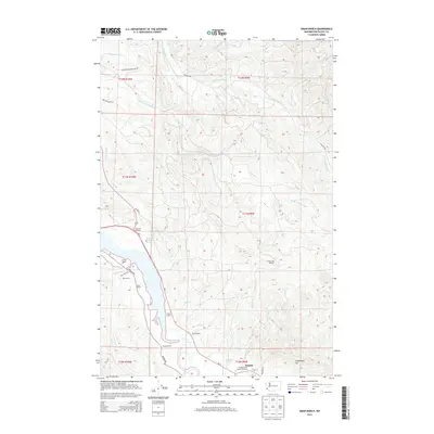
2014 Map of Oman Ranch
USGS Topo · Published 2014About this map
The Naselle River and its complex network of tributaries define this coastal landscape near the community of Naselle. The map reveals a distinct pattern of land use, where established ranches like Oman Ranch, Ring Ranch, and Parpala Ranch occupy the fertile lowlands along the water's edge. This region in Pacific County serves as a critical junction for local resource management, evidenced by the Naselle State Salmon Hatchery and numerous ponds such as Wirkkala Ponds. In the higher elevations to the east, landmarks like Cowan Peak Lookout and Longfellow Hill provide vantage points over the heavily timbered sections accessed by the Weyerhaeuser Gravel Rd. The shoreline transitions from the landing at Johnsons Landing through the tidal influence of Roaring Creek Slough, illustrating the intersection of maritime access and pastoral agriculture.
Find a feature on this map
40 named features on this map. Tap any name to fly to it.
Don’t see what you’re looking for? This feature index may not catch every label — zoom into the map to look around manually.
Map Details
Editions of this 2014 Oman Ranch Map
This is the sole edition of this map. No revisions or reprints were ever made.
Other maps of this area
1938 · Fort Columbia
USGS Topo · 1:62,500
1938 · South Bend
USGS Topo · 1:62,500
1940 · Brookfield
USGS Topo · 1:62,500
1940 · South Bend
USGS Topo · 1:62,500
1943 · Fort Columbia
USGS Topo · 1:62,500
1949 · Chinook
USGS Topo · 1:24,000
1949 · Upper Naselle River
USGS Topo · 1:24,000
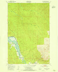
1949 · Oman Ranch
USGS Topo · 1:24,000
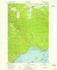
1949 · Knappton
USGS Topo · 1:24,000
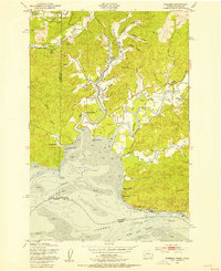
1949 · Rosburg
USGS Topo · 1:24,000