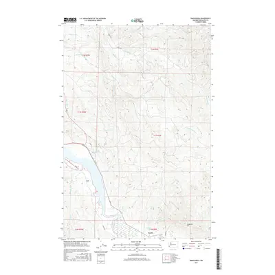
2017 Map of Oman Ranch
USGS Topo · Published 2017About this map
The Middle Nemah River and Naselle River systems dominate this Pacific County landscape, where the coastal topography transitions from the tidal reach of Roaring Creek Slough to the interior heights of Longfellow Hill. The settlement at Naselle serves as the primary hub in the south, while the Oman Ranch sits centrally among the complex network of drainage basins. This area is characterized by its heavy reliance on timber and agriculture, with numerous resource roads like E Nemah Rd and Parpala Rd winding through the drainages of Holm Cr and Petes Cr. The inclusion of the Wirkkala Ponds near the southern boundary highlights the specific local water management and land use patterns typical of the region's river valleys during this era of the early twenty-first century.
Find a feature on this map
34 named features on this map. Tap any name to fly to it.
Don’t see what you’re looking for? This feature index may not catch every label — zoom into the map to look around manually.
Map Details
Editions of this 2017 Oman Ranch Map
This is the sole edition of this map. No revisions or reprints were ever made.
Other maps of this area
1938 · Fort Columbia
USGS Topo · 1:62,500
1938 · South Bend
USGS Topo · 1:62,500
1940 · Brookfield
USGS Topo · 1:62,500
1940 · South Bend
USGS Topo · 1:62,500
1943 · Fort Columbia
USGS Topo · 1:62,500
1949 · Chinook
USGS Topo · 1:24,000
1949 · Upper Naselle River
USGS Topo · 1:24,000
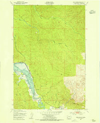
1949 · Oman Ranch
USGS Topo · 1:24,000
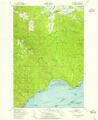
1949 · Knappton
USGS Topo · 1:24,000
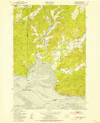
1949 · Rosburg
USGS Topo · 1:24,000