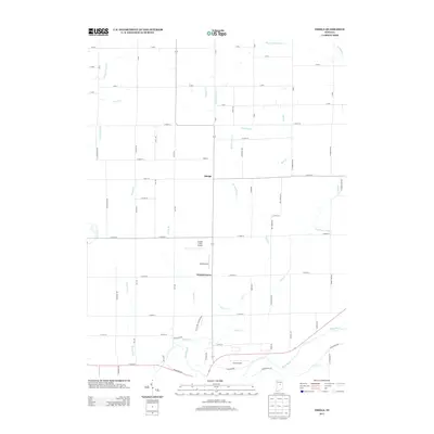
2013 Map of Omega
USGS Topo · Published 2013About this map
Omega and Walnut Grove anchor this agricultural landscape in northern Hamilton County, where a dense network of country roads defines the rural character. The southern edge of the map is shaped by the winding course of the White River, which is fed by numerous tributaries including Duck Cr, Bear Cr, and Deer Cr. The presence of three private airfields—Cruzan Field Airport, Ward Airport, and Irion Airport—highlights a unique pattern of small-scale aviation infrastructure integrated into the local farming community.
Find a feature on this map
76 named features on this map. Tap any name to fly to it.
Don’t see what you’re looking for? This feature index may not catch every label — zoom into the map to look around manually.
Map Details
Editions of this 2013 Omega Map
This is the sole edition of this map. No revisions or reprints were ever made.
Other maps of this area

1953 · Lapel
USGS Topo · 1:24,000

1953 · Riverwood
USGS Topo · 1:24,000

1953 · Noblesville
USGS Topo · 1:24,000

1953 · Danville
USGS Topo · 1:250,000

1953 · Muncie
USGS Topo · 1:250,000

1955 · Danville
USGS Topo · 1:250,000

1956 · Muncie
USGS Topo · 1:250,000

1956 · Danville
USGS Topo · 1:250,000

1960 · Noblesville
USGS Topo · 1:24,000

1960 · Elwood
USGS Topo · 1:24,000