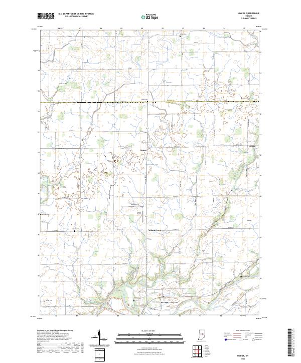
2022 Map of Omega
USGS Topo · Published 2022About this map
The small rural settlements of Omega and Walnut Grove define the center of this agricultural landscape in northern Hamilton County. The terrain is shaped by an extensive network of drainage systems, including Cicero Creek, Duck Creek, and Bear Cr, which channel water toward the White River at the southern boundary. This area reflects the mid-twentieth-century development of local infrastructure, where small airfields like Ward Airport and Irion Airport began to appear alongside traditional family farms and community hubs.
Find a feature on this map
72 named features on this map. Tap any name to fly to it.
Don’t see what you’re looking for? This feature index may not catch every label — zoom into the map to look around manually.
Map Details
Editions of this 2022 Omega Map
This is the sole edition of this map. No revisions or reprints were ever made.
Other maps of this area

1953 · Lapel
USGS Topo · 1:24,000

1953 · Riverwood
USGS Topo · 1:24,000

1953 · Noblesville
USGS Topo · 1:24,000

1953 · Danville
USGS Topo · 1:250,000

1953 · Muncie
USGS Topo · 1:250,000

1955 · Danville
USGS Topo · 1:250,000

1956 · Muncie
USGS Topo · 1:250,000

1956 · Danville
USGS Topo · 1:250,000

1960 · Noblesville
USGS Topo · 1:24,000

1960 · Elwood
USGS Topo · 1:24,000