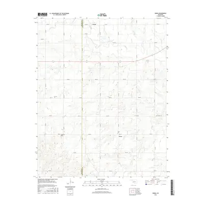
2016 Map of Omega
USGS Topo · Published 2016About this map
The boundary between Blaine and Kingfisher counties runs vertically through this rural landscape, dividing the agricultural plains where Kingfisher Creek and Otter Creek originate. The settlement of Omega sits at the northern edge, while Altona is positioned further south, serving as local anchors for a grid of section roads that provide access to the dispersed farmsteads. This network of roads, including Park Community Rd and Broadway, illustrates the organized land division typical of the Oklahoma territory.
Find a feature on this map
31 named features on this map. Tap any name to fly to it.
Don’t see what you’re looking for? This feature index may not catch every label — zoom into the map to look around manually.
Map Details
Editions of this 2016 Omega Map
This is the sole edition of this map. No revisions or reprints were ever made.
Other maps of this area

1893 · Fort Reno
USGS Topo · 1:62,500

1893 · Loyal
USGS Topo · 1:62,500

1941 · Fort Reno
USGS Topo · 1:62,500

1942 · Fort Reno
USGS Topo · 1:62,500

1942 · Geary
USGS Topo · 1:62,500

1949 · Fort Reno
USGS Topo · 1:62,500

1955 · Clinton
USGS Topo · 1:250,000

1957 · Clinton
USGS Topo · 1:250,000
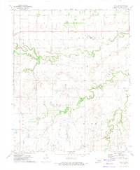
1972 · Loyal SE
USGS Topo · 1:24,000
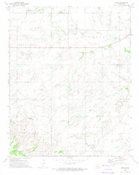
1972 · Omega
USGS Topo · 1:24,000