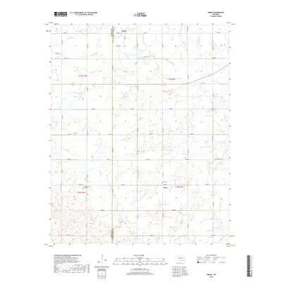
2018 Map of Omega
USGS Topo · Published 2018About this map
Omega and Altona serve as the primary focal points of this central Oklahoma landscape, situated where the high plains of the Blaine Co Kingfisher Co line intersect. The terrain is defined by a dense network of drainage systems, including the winding course of Kingfisher Cr, Cedar Cr, and Otter Cr. A significant topographical landmark, Cheyenne Butte, rises in the southwest quadrant, providing a distinctive break in the section-line road grid that characterizes the region. This grid is punctuated by local heritage sites such as Altona Cem and Zion Cem, which anchor the rural community's history. The map detail reflects the enduring agricultural structure of the area, with numerous section-line roads like e0830 RD and n2700 RD facilitating movement between the dispersed farmsteads and the small rural hubs.
Find a feature on this map
35 named features on this map. Tap any name to fly to it.
Don’t see what you’re looking for? This feature index may not catch every label — zoom into the map to look around manually.
Map Details
Editions of this 2018 Omega Map
This is the sole edition of this map. No revisions or reprints were ever made.
Other maps of this area
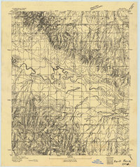
1893 · Fort Reno
USGS Topo · 1:62,500
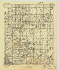
1893 · Loyal
USGS Topo · 1:62,500
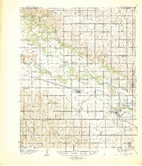
1941 · Fort Reno
USGS Topo · 1:62,500
1942 · Fort Reno
USGS Topo · 1:62,500
1942 · Geary
USGS Topo · 1:62,500
1949 · Fort Reno
USGS Topo · 1:62,500
1955 · Clinton
USGS Topo · 1:250,000
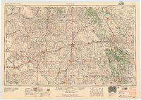
1957 · Clinton
USGS Topo · 1:250,000
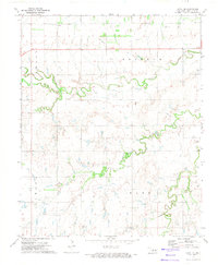
1972 · Loyal SE
USGS Topo · 1:24,000
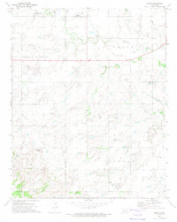
1972 · Omega
USGS Topo · 1:24,000