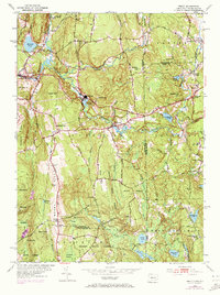
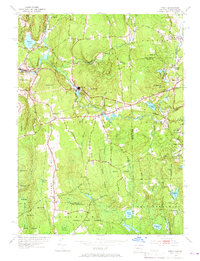
1953 Map of Oneco
USGS Topo · Published 1972About this map
The Moosup River carves through the rugged borderlands of Eastern Connecticut and Western Rhode Island, anchoring a landscape defined by timber and early manufacturing. The settlements of Sterling and Oneco developed around the river's power, while smaller villages like Almyville and Rice City represent the scattered textile and agricultural hamlets of the era. Much of the southern terrain is dominated by the sprawling Pachaug State Forest, where early 20th-century conservation efforts preserved the rocky upland character. Genealogists will find significant value in the documentation of remote rural landmarks, including the Ekonk Ch and the Gallup Cem near the Windham and New London county line. On the Rhode Island side, the high ground of Carbuncle Hill overlooks the quiet roads leading to the crossroads at Fairbanks Corner. From the Lookout Tower on Ekonk Hill to the small Ricann Airport, the map traces a transition from industrial valley to protected woodland.
Find a feature on this map
56 named features on this map. Tap any name to fly to it.
Don’t see what you’re looking for? This feature index may not catch every label — zoom into the map to look around manually.
Map Details
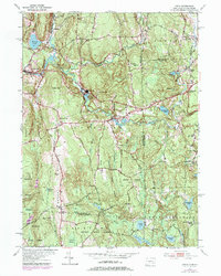
Editions of this 1953 Oneco Map
6 editions found
Other maps of this area

1889 · Putnam
USGS Topo · 1:62,500

1889 · Burrillville
USGS Topo · 1:62,500

1889 · Moosup
USGS Topo · 1:62,500

1890 · Kent
USGS Topo · 1:62,500

1893 · Putnam
USGS Topo · 1:62,500

1893 · Moosup
USGS Topo · 1:62,500

1894 · Burrillville
USGS Topo · 1:62,500

1894 · Kent
USGS Topo · 1:62,500

1915 · Burrillville
USGS Topo · 1:62,500

1919 · Putnam
USGS Topo · 1:62,500