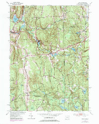
1953 Map of Oneco
USGS Topo · Published 1979About this map
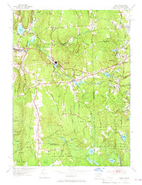
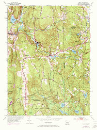
Sterling and Oneco serve as the primary nodes of activity in this rural landscape where the Moosup River and Quanduck Brook define the local drainage patterns. The topography is characterized by a series of prominent rises including Webb Hill, Sterling Hill, and the significant Ekonk Hill ridge to the west. This mid-century survey, with later revisions, shows a region heavily integrated with the Pachaug State Forest, which covers much of the southern and western portions of the quadrangle.
Find a feature on this map
56 named features on this map. Tap any name to fly to it.
Don’t see what you’re looking for? This feature index may not catch every label — zoom into the map to look around manually.
Map Details
Editions of this 1953 Oneco Map
6 editions found
Other maps of this area

1889 · Putnam
USGS Topo · 1:62,500

1889 · Burrillville
USGS Topo · 1:62,500

1889 · Moosup
USGS Topo · 1:62,500

1890 · Kent
USGS Topo · 1:62,500

1893 · Putnam
USGS Topo · 1:62,500

1893 · Moosup
USGS Topo · 1:62,500

1894 · Burrillville
USGS Topo · 1:62,500

1894 · Kent
USGS Topo · 1:62,500

1915 · Burrillville
USGS Topo · 1:62,500

1919 · Putnam
USGS Topo · 1:62,500