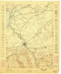
1898 Map of Oneida
USGS Topo · Published 1898About this map
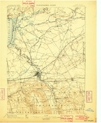
The junction of major waterways and rail corridors dominates this late 19th-century landscape at the eastern end of Oneida Lake. The map illustrates a complex hydraulic history, featuring the Erie Canal alongside the Old Oneida Lake Canal and the New Oneida Lake Canal (Abandoned), documenting the evolution of transit between the Great Lakes and the interior. At the center of this network lies the city of Oneida, with the nearby Oneida Community and Oneida Castle reflecting the region's unique social and indigenous heritage.
Find a feature on this map
71 named features on this map. Tap any name to fly to it.
Don’t see what you’re looking for? This feature index may not catch every label — zoom into the map to look around manually.
Map Details
Editions of this 1898 Oneida Map
This is the sole edition of this map. No revisions or reprints were ever made.
Other maps of this area
1895 · Chittenango
USGS Topo · 1:62,500
1895 · Oriskany
USGS Topo · 1:62,500
1895 · Oneida
USGS Topo · 1:62,500
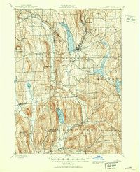
1897 · Cazenovia
USGS Topo · 1:62,500
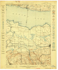
1898 · Chittenango
USGS Topo · 1:62,500
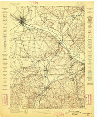
1898 · Oriskany
USGS Topo · 1:62,500
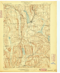
1899 · Cazenovia
USGS Topo · 1:62,500
1902 · Chittenango
USGS Topo · 1:62,500
1902 · Morrisville
USGS Topo · 1:62,500
1902 · Oneida
USGS Topo · 1:62,500