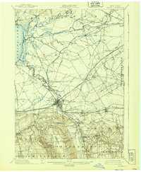
1939 Map of Oneida
USGS Topo · Published 1939About this map
The Barge Canal and the historic Erie Canal define the industrial landscape of this central New York corridor, where water-borne commerce shaped the development of towns like Durhamville and Oneida. The map illustrates a complex evolution of infrastructure, notably the Old Oneida Lake Canal and the New Oneida Lake Canal (Abandoned), which reflect the shifting routes of the nineteenth-century waterway system.
Find a feature on this map
81 named features on this map. Tap any name to fly to it.
Don’t see what you’re looking for? This feature index may not catch every label — zoom into the map to look around manually.
Map Details
Editions of this 1939 Oneida Map
This is the sole edition of this map. No revisions or reprints were ever made.
Other maps of this area
1895 · Chittenango
USGS Topo · 1:62,500
1895 · Oriskany
USGS Topo · 1:62,500
1895 · Oneida
USGS Topo · 1:62,500
1897 · Cazenovia
USGS Topo · 1:62,500
1898 · Oneida
USGS Topo · 1:62,500
1898 · Chittenango
USGS Topo · 1:62,500
1898 · Oriskany
USGS Topo · 1:62,500
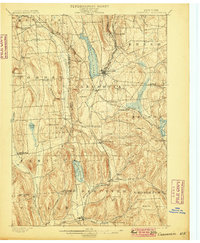
1899 · Cazenovia
USGS Topo · 1:62,500
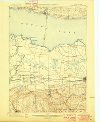
1902 · Chittenango
USGS Topo · 1:62,500
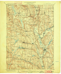
1902 · Morrisville
USGS Topo · 1:62,500