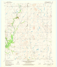
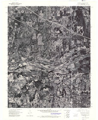
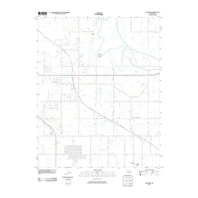
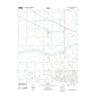
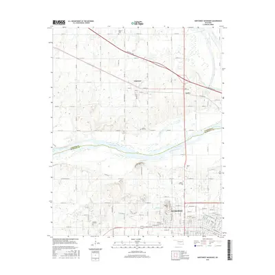
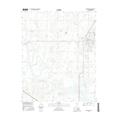
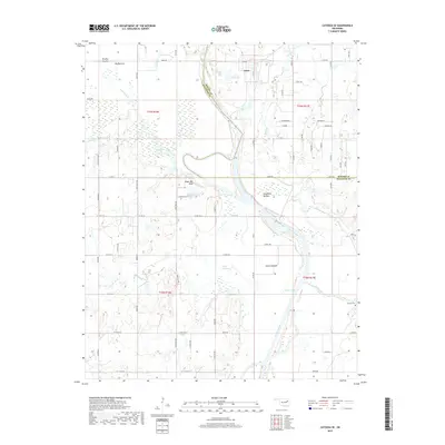
1963 Map of Oneta
USGS Topo · Published 1980About this map
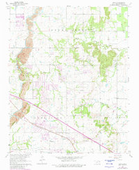
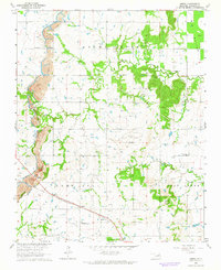
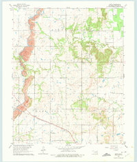
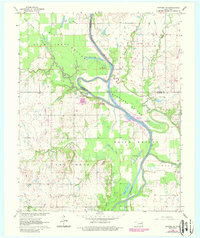
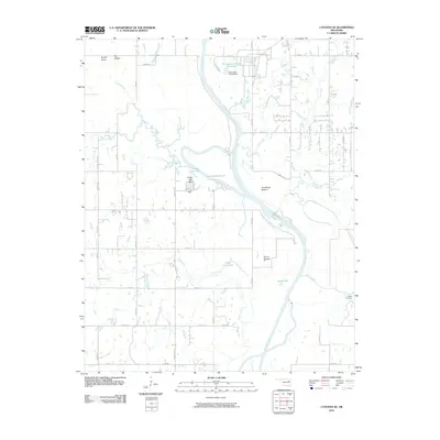
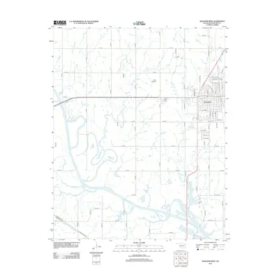
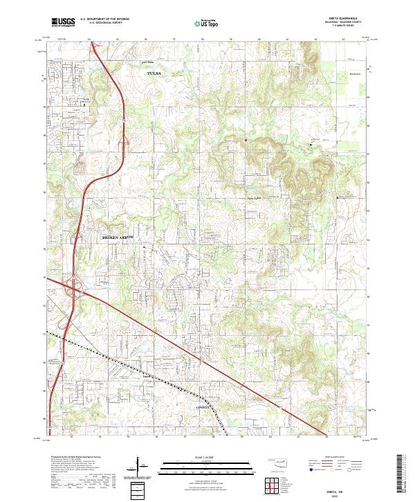
The Missouri-Kansas-Texas railroad corridor anchors this survey of Wagoner County, crossing through the settlement of Oneta. This 1963 landscape, later updated in 1980, reveals a transitional era for the region as traditional farming and resource extraction met modern infrastructure. Extensive Strip Mines dominate the northwestern terrain, while the construction of the Muskogee Turnpike Road signals the shift toward high-speed regional travel. Rural community life is well-documented through numerous schools and churches, including Oak Grove Sch and Springtown Ch. The map provides a detailed view of local industry through a high density of Oil Wells and the presence of a Substation, illustrating the energy production that shaped the Oklahoma landscape during the mid-20th century. Terrain features like the wide Big Bottom and the winding Adams Creek provide a clear view of the drainage patterns surrounding New Tulsa.
Find a feature on this map
26 named features on this map. Tap any name to fly to it.
Don’t see what you’re looking for? This feature index may not catch every label — zoom into the map to look around manually.
Map Details
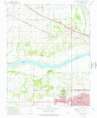
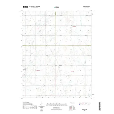
Editions of this 1963 Oneta Map
3 editions found
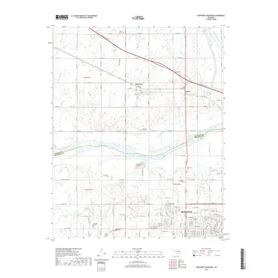
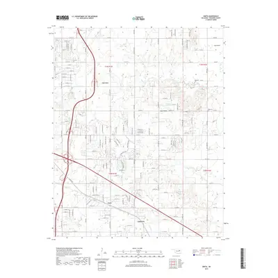
Historical Maps of Tulsa Through Time
45 maps found
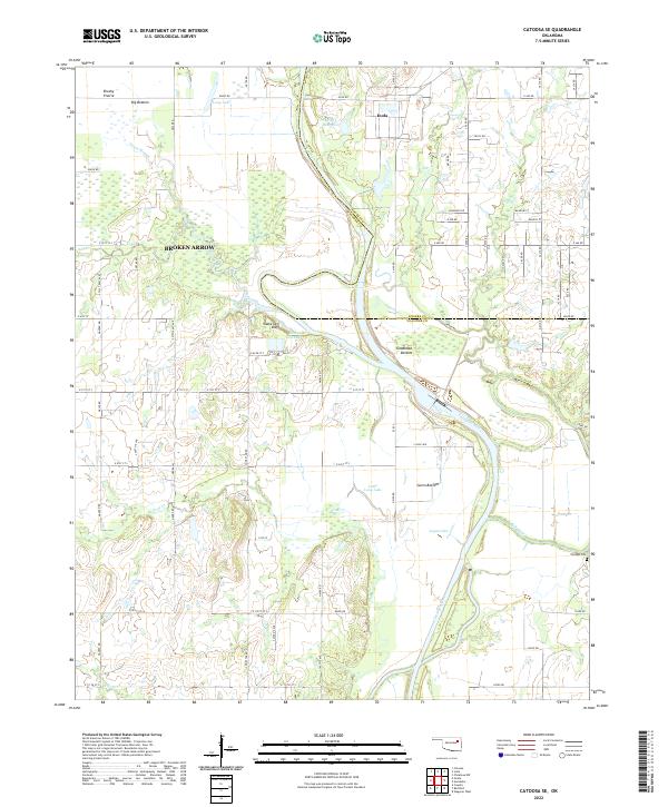
1963 Catoosa SE
Wagoner County, OK
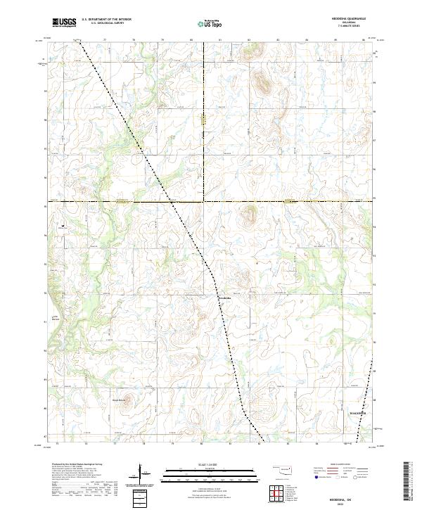
1963 Neodesha
Wagoner County, OK
1963 Oneta
Wagoner County, OK
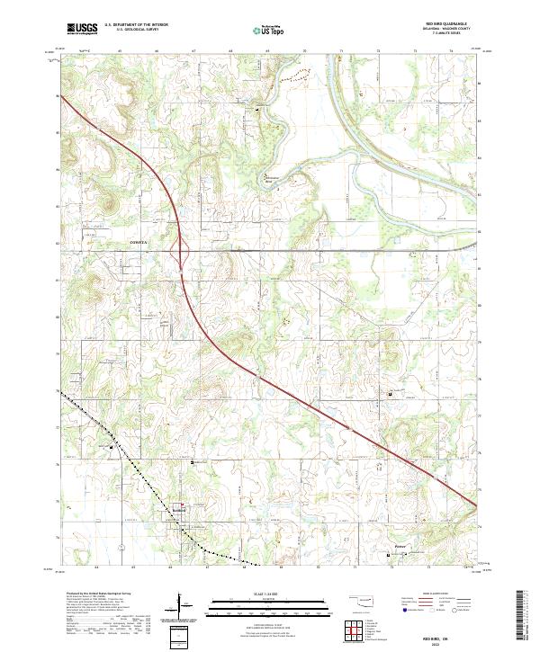
1963 Red Bird
Wagoner County, OK
1972 Wagoner NE
Wagoner County, OK
1972 Wagoner NW
Wagoner County, OK
1972 Wagoner SW
Wagoner County, OK
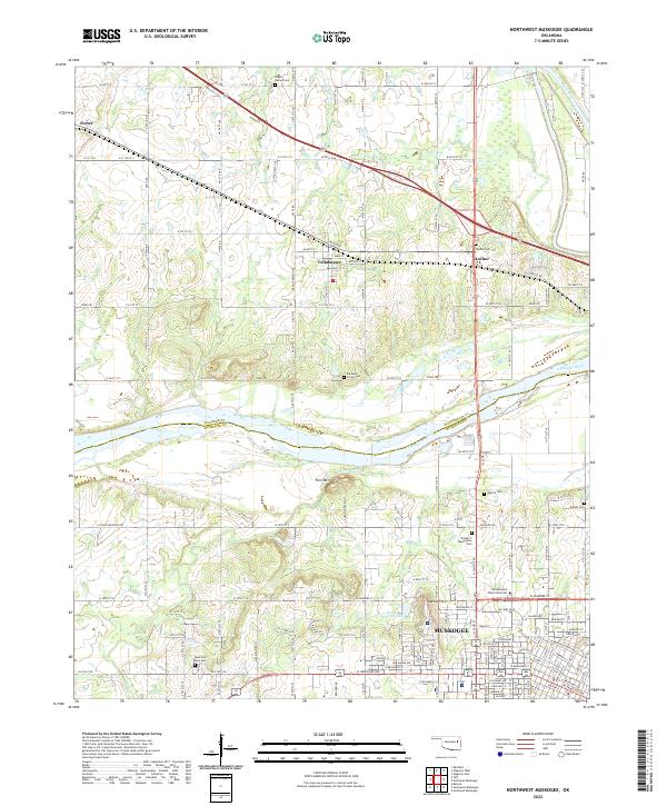
1974 Northwest Muskogee
Wagoner County, OK
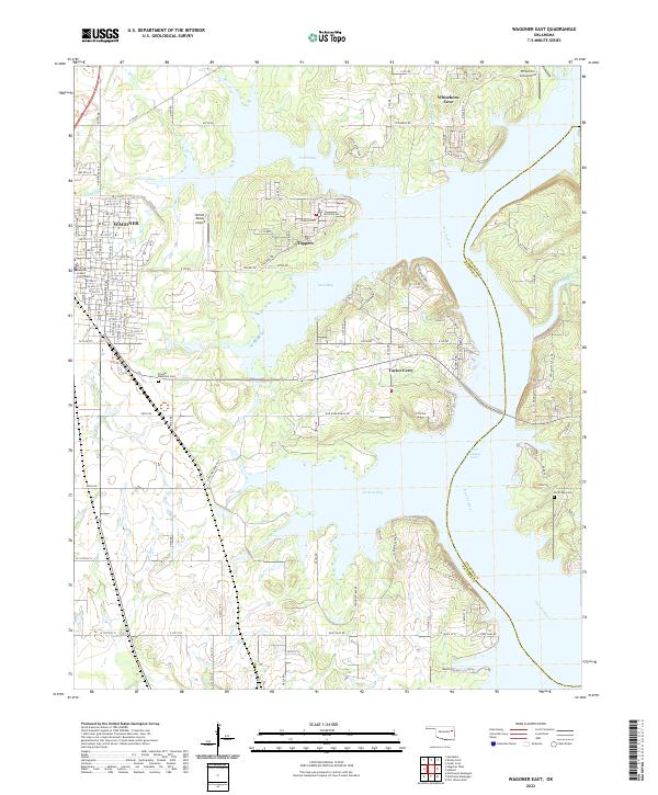
1974 Wagoner East
Wagoner County, OK
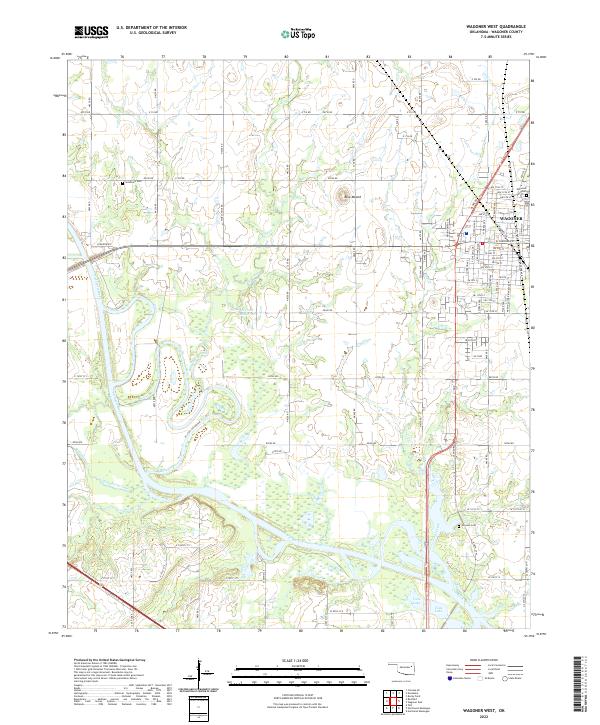
1974 Wagoner West
Wagoner County, OK
2010 Catoosa SE
Wagoner County, OK
2010 Neodesha
Wagoner County, OK
2010 Northwest Muskogee
Wagoner County, OK
2010 Oneta
Wagoner County, OK
2010 Red Bird
Wagoner County, OK
2010 Wagoner East
Wagoner County, OK
2010 Wagoner West
Wagoner County, OK
2012 Neodesha
Wagoner County, OK
2012 Northwest Muskogee
Wagoner County, OK
2012 Oneta
Wagoner County, OK
2012 Red Bird
Wagoner County, OK
2012 Wagoner East
Wagoner County, OK
2012 Wagoner West
Wagoner County, OK
2013 Catoosa SE
Wagoner County, OK
2016 Catoosa SE
Wagoner County, OK
2016 Neodesha
Wagoner County, OK
2016 Northwest Muskogee
Wagoner County, OK
2016 Oneta
Wagoner County, OK
2016 Red Bird
Wagoner County, OK
2016 Wagoner East
Wagoner County, OK
2016 Wagoner West
Wagoner County, OK
2018 Red Bird
Wagoner County, OK
2018 Wagoner East
Wagoner County, OK
2018 Wagoner West
Wagoner County, OK
2019 Catoosa SE
Wagoner County, OK
2019 Neodesha
Wagoner County, OK
2019 Northwest Muskogee
Wagoner County, OK
2019 Oneta
Wagoner County, OK
2022 Catoosa SE
Wagoner County, OK
2022 Neodesha
Wagoner County, OK
2022 Northwest Muskogee
Wagoner County, OK
2022 Oneta
Wagoner County, OK
2022 Red Bird
Wagoner County, OK
2022 Wagoner East
Wagoner County, OK
2022 Wagoner West
Wagoner County, OK