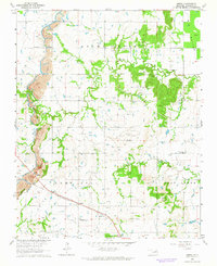
1963 Map of Oneta
USGS Topo · Published 1964About this map
Industrial and rural landscapes intersect in this Wagoner County survey, where the Strip Mines dominate the western terrain along the banks of Adams Creek. The settlement of Oneta serves as a central point along the Missouri-Kansas-Texas railroad line, surrounded by a network of one-room schoolhouses and community churches that defined mid-century life in eastern Oklahoma.
Find a feature on this map
20 named features on this map. Tap any name to fly to it.
Don’t see what you’re looking for? This feature index may not catch every label — zoom into the map to look around manually.
Map Details
Editions of this 1963 Oneta Map
3 editions found
Other maps of this area

1896 · Okmulgee
USGS Topo · 1:125,000

1900 · Okmulgee
USGS Topo · 1:125,000

1901 · Claremore
USGS Topo · 1:125,000

1914 · Claremore
USGS Topo · 1:125,000

1916 · Claremore
USGS Topo · 1:125,000

1946 · Fort Smith
USGS Topo · 1:250,000

1954 · Tulsa
USGS Topo · 1:250,000

1955 · Mingo
USGS Topo · 1:24,000

1955 · Broken Arrow
USGS Topo · 1:24,000

1957 · Leonard
USGS Topo · 1:24,000