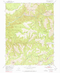
1950 Map of Onion Valley
USGS Topo · Published 1978About this map
The Middle Fork Feather River carves through this portion of the northern Sierra Nevada, defining a landscape shaped by mid-century resource extraction and historic mining activity. Gold and mineral pursuits are evident in the numerous inactive workings scattered across the terrain, including the Five Bear Mine, Sugar Pine Mine, and the Feather Fork Mine located near the South Fork Feather River. These sites, along with the Williams and Dorf Mine, illustrate the tail end of a mining era that once sustained small mountain communities.
Find a feature on this map
69 named features on this map. Tap any name to fly to it.
Don’t see what you’re looking for? This feature index may not catch every label — zoom into the map to look around manually.
Map Details
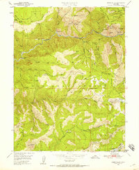
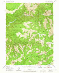
Editions of this 1950 Onion Valley Map
3 editions found
Other maps of this area

1888 · Bidwell Bar
USGS Topo · 1:125,000

1891 · Bidwell Bar
USGS Topo · 1:125,000

1891 · Downieville
USGS Topo · 1:125,000

1893 · Bidwell Bar
USGS Topo · 1:125,000

1893 · Downieville
USGS Topo · 1:125,000

1895 · Bidwell Bar
USGS Topo · 1:125,000

1895 · Downieville
USGS Topo · 1:125,000

1896 · Downieville
USGS Topo · 1:125,000

1897 · Bidwell Bar
USGS Topo · 1:125,000

1897 · Downieville
USGS Topo · 1:125,000