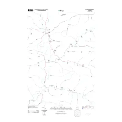
2013 Map of Ontario
USGS Topo · Published 2013About this map
Ontario and the surrounding Driftless Area terrain are defined by the winding course of the Kickapoo River, which carves through a landscape of steep ridges and deep valleys. The topography is marked by significant elevations like Mount Pisgah and Flag Rock, which overlook a series of small, named hollows and valleys that suggest a history of tight-knit agricultural settlement. To the east of the river, Wildcat Mountain State Park encompasses Wildcat Mountain, anchoring a region where narrow roads like State Road 131 follow the natural contours of the land.
Find a feature on this map
92 named features on this map. Tap any name to fly to it.
Don’t see what you’re looking for? This feature index may not catch every label — zoom into the map to look around manually.
Map Details
Editions of this 2013 Ontario Map
This is the sole edition of this map. No revisions or reprints were ever made.
Other maps of this area

1916 · Tomah
USGS Topo · 1:62,500

1919 · Kendall
USGS Topo · 1:62,500

1921 · Kendall
USGS Topo · 1:62,500

1926 · La Farge
USGS Topo · 1:62,500

1927 · Hillsboro
USGS Topo · 1:62,500

1949 · Tomah
USGS Topo · 1:62,500

1958 · La Crosse
USGS Topo · 1:250,000

1961 · La Crosse
USGS Topo · 1:250,000

1962 · Kendall
USGS Topo · 1:62,500

1965 · La Crosse
USGS Topo · 1:250,000