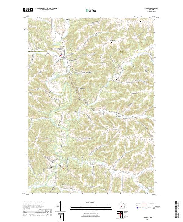
2022 Map of Ontario
USGS Topo · Published 2022About this map
The Kickapoo River carves through the driftless terrain of Vernon and Monroe counties, anchoring a landscape of tight valleys and prominent ridges. The village of Ontario serves as a central hub at the junction of Brush Cr and the river, while smaller settlements like Rockton, Valley, and Oil City trace the winding path of the local creek systems. This topographical study reveals a deeply dissected geography where every hollow and ridge bears a distinct name, reflecting the area's complex drainage and settlement patterns.
Find a feature on this map
110 named features on this map. Tap any name to fly to it.
Don’t see what you’re looking for? This feature index may not catch every label — zoom into the map to look around manually.
Map Details
Editions of this 2022 Ontario Map
This is the sole edition of this map. No revisions or reprints were ever made.
Other maps of this area

1916 · Tomah
USGS Topo · 1:62,500

1919 · Kendall
USGS Topo · 1:62,500

1921 · Kendall
USGS Topo · 1:62,500

1926 · La Farge
USGS Topo · 1:62,500

1927 · Hillsboro
USGS Topo · 1:62,500

1949 · Tomah
USGS Topo · 1:62,500

1958 · La Crosse
USGS Topo · 1:250,000

1961 · La Crosse
USGS Topo · 1:250,000

1962 · Kendall
USGS Topo · 1:62,500

1965 · La Crosse
USGS Topo · 1:250,000