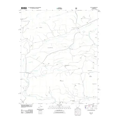
2011 Map of Onyx
USGS Topo · Published 2011About this map
The South Fourche LaFave River meanders through this portion of Yell County, anchoring a landscape defined by significant peaks and small rural clusters. The settlement of Onyx sits near the northern bend of the river, while Aly and Stillwater occupy the southern reaches near the Irons Fork. Genealogists will find several burial sites preserved on this sheet, including the Aly Cemetery, the Ballew Family Cemetery, and the Keener Family Cemetery, often located on family lands away from the main thoroughfares.
Find a feature on this map
93 named features on this map. Tap any name to fly to it.
Don’t see what you’re looking for? This feature index may not catch every label — zoom into the map to look around manually.
Map Details
Editions of this 2011 Onyx Map
This is the sole edition of this map. No revisions or reprints were ever made.
Other maps of this area

1890 · Mount Ida
USGS Topo · 1:125,000

1890 · Hot Springs
USGS Topo · 1:125,000

1894 · Hot Springs
USGS Topo · 1:125,000

1955 · Little Rock
USGS Topo · 1:250,000

1956 · Little Rock
USGS Topo · 1:250,000

1959 · Mount Ida
USGS Topo · 1:62,500

1960 · Little Rock
USGS Topo · 1:250,000

1960 · Gravelly
USGS Topo · 1:62,500

1962 · Avant
USGS Topo · 1:24,000

1962 · Fannie
USGS Topo · 1:24,000