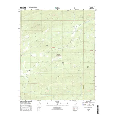
2017 Map of Onyx
USGS Topo · Published 2017About this map
The S Fourche LaFave River meanders through the heart of the Ouachita National Forest in this 2017 survey of western Arkansas. This landscape is defined by its series of prominent ridges and peaks, including Bear Den Mtn, White Oak Mtn, and Allen Peak, which dictated the early settlement patterns of Yell and Garland counties. Small mountain communities such as Aly and Onyx are situated along the valley floors, where early families established local landmarks like the Ballew Family Cem and Keener Family Cem. To the south, the Irons Fork drainage and the Ouachita National Recreation Trail highlight the transition into the more protected wilderness areas. The map provides a detailed view of the local road network, such as State Hwy 27 and various forest routes that follow the winding paths of Robertson Cr and Haw Cr.
Find a feature on this map
66 named features on this map. Tap any name to fly to it.
Don’t see what you’re looking for? This feature index may not catch every label — zoom into the map to look around manually.
Map Details
Editions of this 2017 Onyx Map
This is the sole edition of this map. No revisions or reprints were ever made.
Other maps of this area
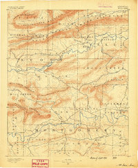
1890 · Mount Ida
USGS Topo · 1:125,000
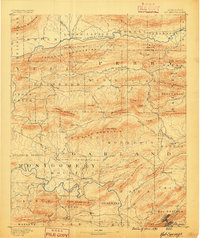
1890 · Hot Springs
USGS Topo · 1:125,000
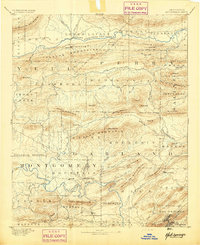
1894 · Hot Springs
USGS Topo · 1:125,000
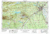
1955 · Little Rock
USGS Topo · 1:250,000
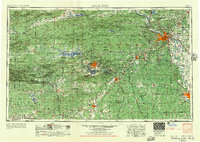
1956 · Little Rock
USGS Topo · 1:250,000
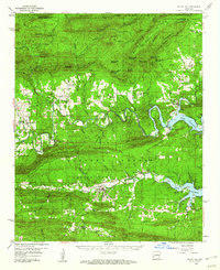
1959 · Mount Ida
USGS Topo · 1:62,500
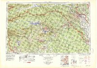
1960 · Little Rock
USGS Topo · 1:250,000
1960 · Gravelly
USGS Topo · 1:62,500
1962 · Avant
USGS Topo · 1:24,000
1962 · Fannie
USGS Topo · 1:24,000