
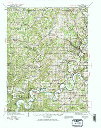
1935 Map of Oolitic
USGS Topo · Published 1935About this map
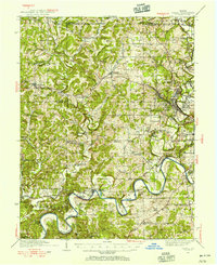
Stone quarrying and rural agricultural life define this Indiana landscape during the mid-1930s. The town of Oolitic sits at the heart of a limestone-rich region, evidenced by numerous industrial sites like the Eureka Quarry, Dark Hollow Quarry, and Furdie Quarry. These operations are supported by a complex rail network, including the Chicago Indianapolis And Louisville and the Chicago Milwaukee ST Paul And Pacific, which navigate the winding course of Salt Creek and the East Fork White River.
Find a feature on this map
64 named features on this map. Tap any name to fly to it.
Don’t see what you’re looking for? This feature index may not catch every label — zoom into the map to look around manually.
Map Details
Editions of this 1935 Oolitic Map
6 editions found
Other maps of this area

1908 · Bloomington
USGS Topo · 1:48,000

1908 · Bloomfield
USGS Topo · 1:62,500

1910 · Bloomington
USGS Topo · 1:62,500

1934 · Bedford
USGS Topo · 1:48,000

1937 · Bedford
USGS Topo · 1:62,500

1942 · Franklin
USGS Topo · 1:125,000

1942 · Oolitic
USGS Topo · 1:62,500

1947 · Allens Creek
USGS Topo · 1:24,000

1948 · Huron
USGS Topo · 1:24,000

1949 · Georgia
USGS Topo · 1:24,000