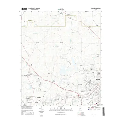
2014 Map of Opelika West
USGS Topo · Published 2014About this map
Auburn and Opelika are documented during a period of significant suburban expansion, where residential neighborhoods like Village Hills and Pickwood meet older rural landmarks. The northern reaches of the map retain a more traditional agrarian character, centered around the historic community of Oak Bowery and the settlement at Stonewall. This transition is clearly visible as the dense street grids of North Auburn and the developments near India Lakes give way to the creek-carved terrain of Sougahatchee Cr and Loblackee Cr.
Find a feature on this map
180 named features on this map. Tap any name to fly to it.
Don’t see what you’re looking for? This feature index may not catch every label — zoom into the map to look around manually.
Map Details
Editions of this 2014 Opelika West Map
This is the sole edition of this map. No revisions or reprints were ever made.
Other maps of this area

1906 · Dadeville
USGS Topo · 1:125,000

1907 · Opelika
USGS Topo · 1:125,000

1909 · Opelika
USGS Topo · 1:125,000

1955 · Phenix City
USGS Topo · 1:250,000

1957 · Phenix City
USGS Topo · 1:250,000

1958 · Phenix City
USGS Topo · 1:250,000
1970 · Opelika East
USGS Topo · 1:24,000
1971 · Waverly
USGS Topo · 1:24,000
1971 · Parkers Crossroads
USGS Topo · 1:24,000
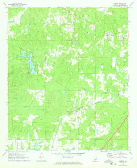
1971 · Cusseta
USGS Topo · 1:24,000