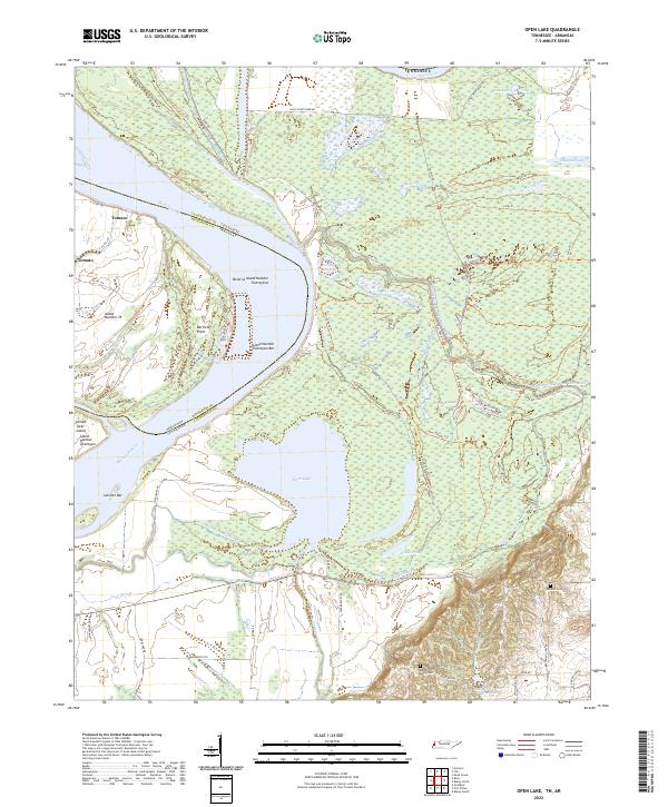
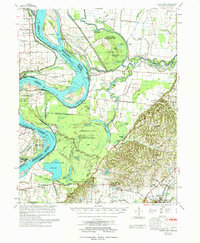
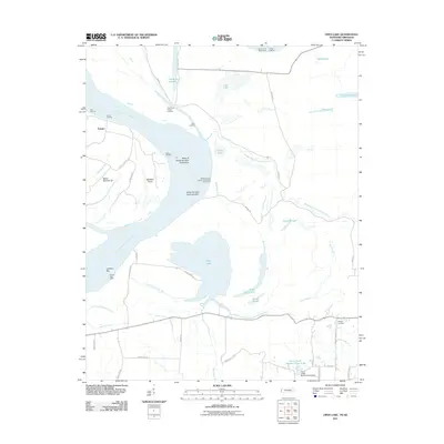
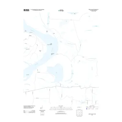
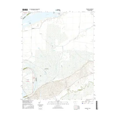
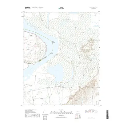
2022 Map of Open Lake
USGS Topo · Published 2022About this map
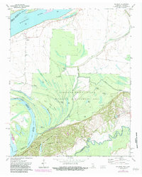
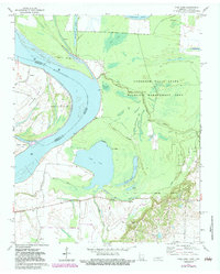
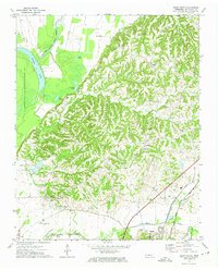
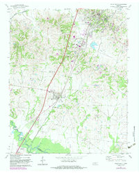
The Mississippi River creates a dynamic border between Lauderdale County, Tennessee and Mississippi County, Arkansas in this survey of the river's alluvial bottomlands. The landscape is defined by its complex hydrology, featuring numerous oxbow lakes and sloughs such as Open Lake, Swan Lake, and Chisholm Lake that trace the historical migration of the river channel. This area reflects a specialized river-and-bottomland economy, where navigation and drainage are primary concerns, indicated by features like the Bend of Island Number Twenty-five and Lassiter Bar.
Find a feature on this map
61 named features on this map. Tap any name to fly to it.
Don’t see what you’re looking for? This feature index may not catch every label — zoom into the map to look around manually.
Map Details
Editions of this 2022 Open Lake Map
This is the sole edition of this map. No revisions or reprints were ever made.
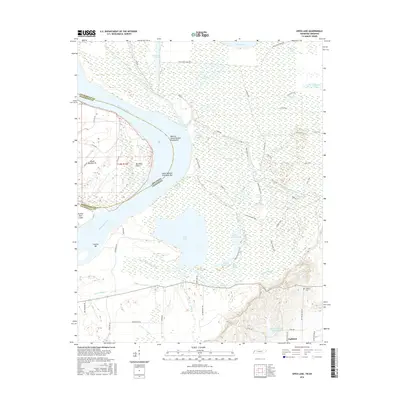
Historical Maps of Tomato Through Time
33 maps found
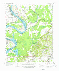
1961 Hales Point
Lauderdale County, TN
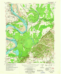
1962 Hales Point
Lauderdale County, TN
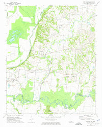
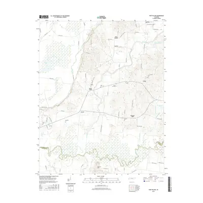
1972 Fort Pillow
Lauderdale County, TN
1972 Golddust
Lauderdale County, TN
1972 Open Lake
Lauderdale County, TN
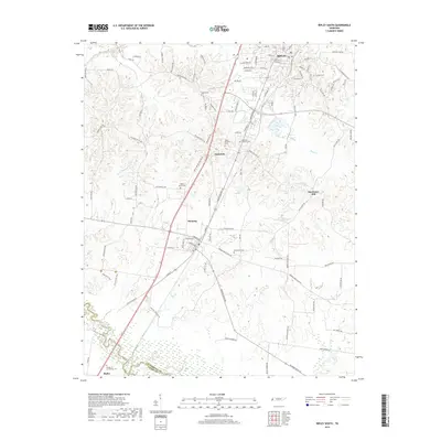
1972 Ripley North
Lauderdale County, TN
1972 Ripley South
Lauderdale County, TN
1977 Hales Point
Lauderdale County, TN
2010 Fort Pillow
Lauderdale County, TN
2010 Ripley North
Lauderdale County, TN
2010 Ripley South
Lauderdale County, TN
2011 Golddust
Lauderdale County, TN
2011 Open Lake
Lauderdale County, TN
2013 Fort Pillow
Lauderdale County, TN
2013 Golddust
Lauderdale County, TN
2013 Open Lake
Lauderdale County, TN
2013 Ripley North
Lauderdale County, TN
2013 Ripley South
Lauderdale County, TN
2016 Fort Pillow
Lauderdale County, TN
2016 Golddust
Lauderdale County, TN
2016 Open Lake
Lauderdale County, TN
2016 Ripley North
Lauderdale County, TN
2016 Ripley South
Lauderdale County, TN
2019 Fort Pillow
Lauderdale County, TN
2019 Golddust
Lauderdale County, TN
2019 Open Lake
Lauderdale County, TN

2019 Ripley North
Lauderdale County, TN
2019 Ripley South
Lauderdale County, TN
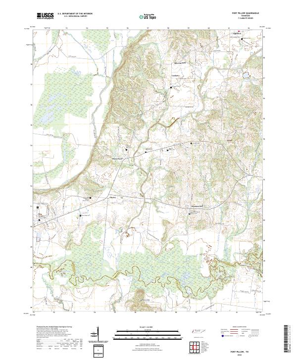
2022 Fort Pillow
Lauderdale County, TN
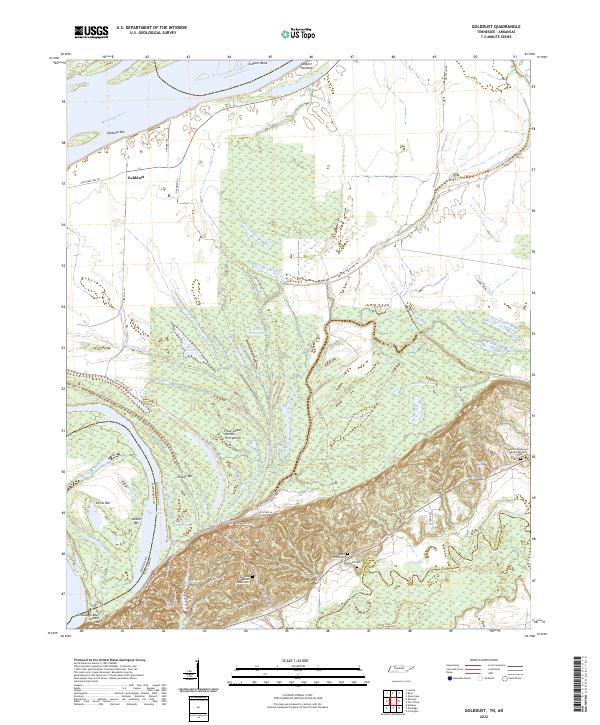
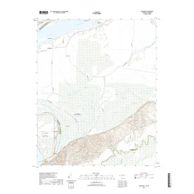
2022 Golddust
Lauderdale County, TN
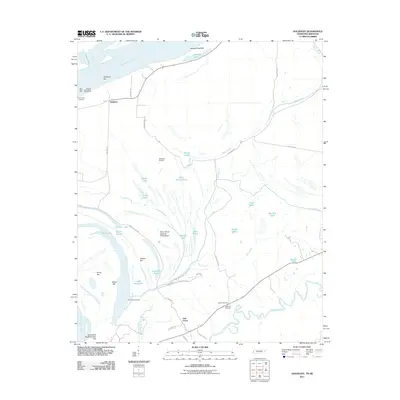
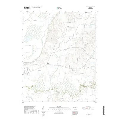
2022 Open Lake
Lauderdale County, TN
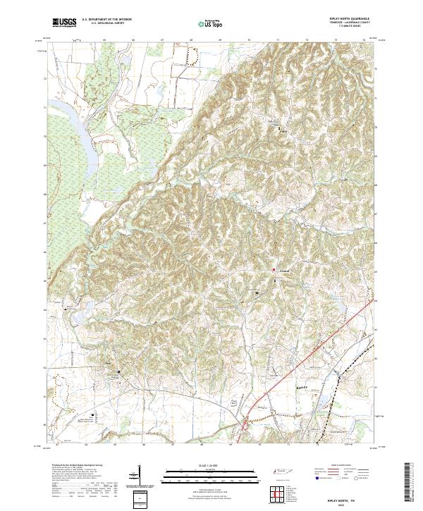
2022 Ripley North
Lauderdale County, TN
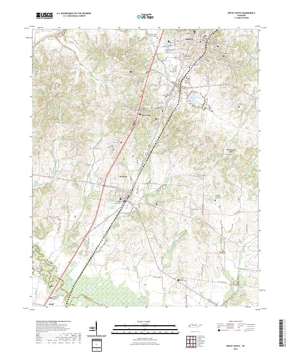
2022 Ripley South
Lauderdale County, TN