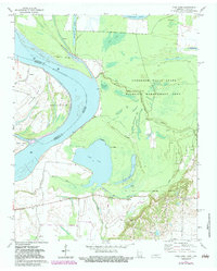
1972 Map of Open Lake
USGS Topo · Published 1983About this map
The Mississippi River creates a dynamic border between Tennessee and Arkansas in this 1970s landscape, defined by shifting channels and extensive bottomland. The Anderson-Tully State Wildlife Management Area dominates the eastern bank, preserving a network of sloughs and backwaters including Open Lake, Swan Lake, and Grassy Lake. This environment was shaped by the meandering nature of the Middle Fork Forked Deer River, which joins the main channel near Forked Deer Island.
Find a feature on this map
31 named features on this map. Tap any name to fly to it.
Don’t see what you’re looking for? This feature index may not catch every label — zoom into the map to look around manually.
Map Details
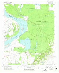
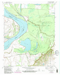
Editions of this 1972 Open Lake Map
3 editions found
Other maps of this area

1939 · Hales Point
USGS Topo · 1:62,500

1939 · Blytheville
USGS Topo · 1:62,500

1952 · Hales Point
USGS Topo · 1:62,500

1955 · Blytheville
USGS Topo · 1:62,500

1956 · Blytheville
USGS Topo · 1:250,000

1959 · Blytheville
USGS Topo · 1:250,000

1961 · Hales Point
USGS Topo · 1:62,500

1961 · Rialto
USGS Topo · 1:62,500

1962 · Rialto
USGS Topo · 1:62,500

1962 · Hales Point
USGS Topo · 1:62,500