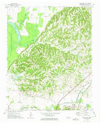
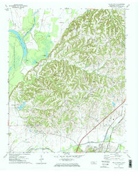
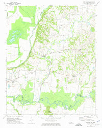
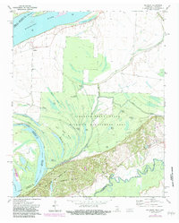
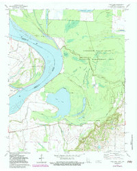
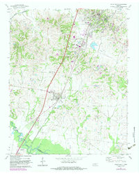
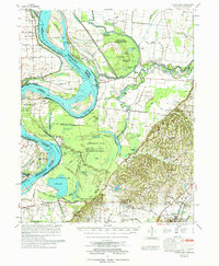
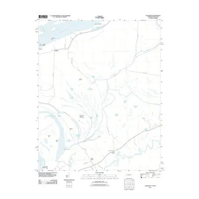
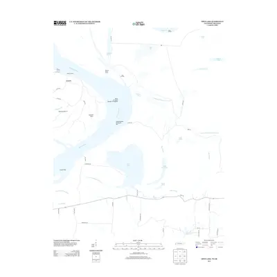
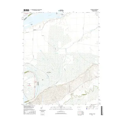
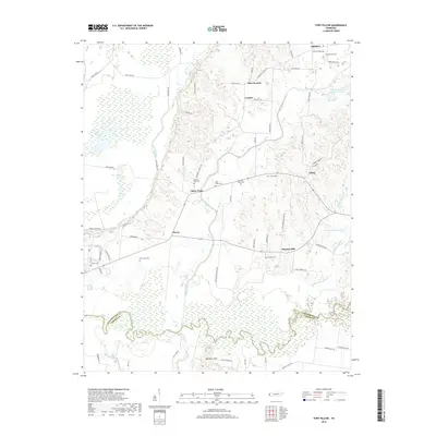
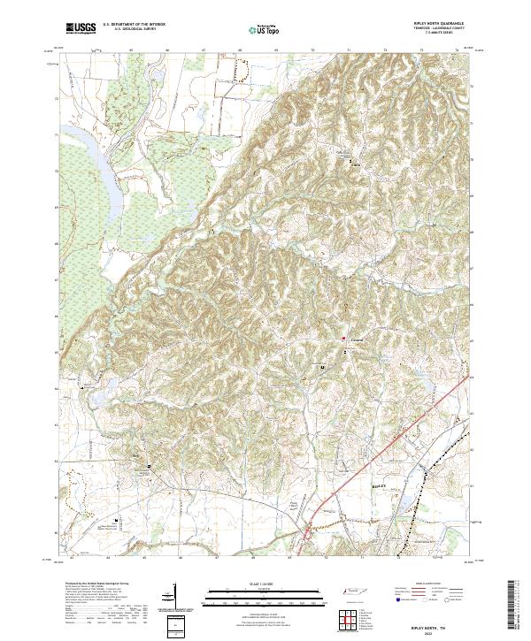
1972 Map of Ripley North
USGS Topo · Published 1974About this map
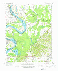
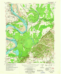
Chisholm Lake and the winding Old Bed Forked Deer River define the western reaches of this Lauderdale County landscape in the early 1970s. The terrain transitions from the low-lying wetlands of the Anderson-Tully State Wildlife Management Area to the dissected uplands where small communities like Edith, Central, and Arp are situated. This survey captures a moment of established rural infrastructure, including several gravel operations and the Arp Sch, serving the surrounding agricultural lands.
Find a feature on this map
34 named features on this map. Tap any name to fly to it.
Don’t see what you’re looking for? This feature index may not catch every label — zoom into the map to look around manually.
Map Details
Editions of this 1972 Ripley North Map
2 editions found
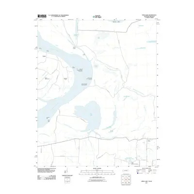
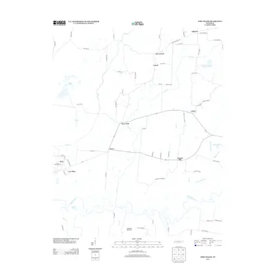
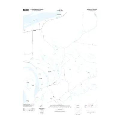
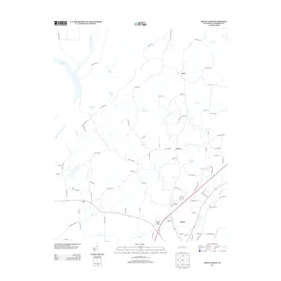
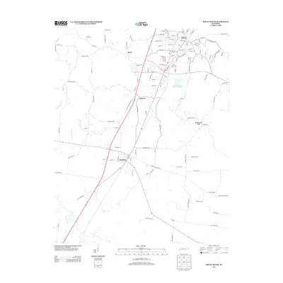
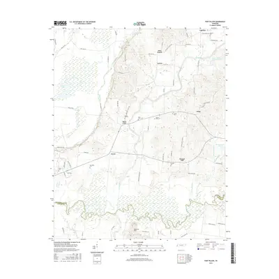
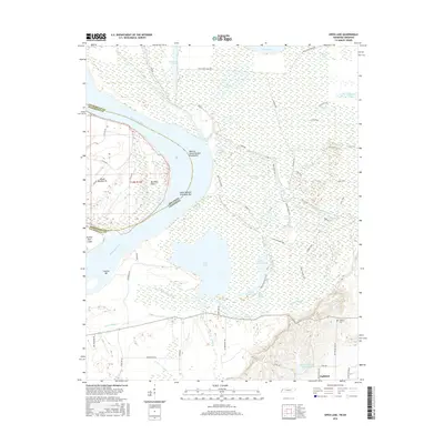
Historical Maps of Ripley Through Time
33 maps found
1961 Hales Point
Lauderdale County, TN
1962 Hales Point
Lauderdale County, TN
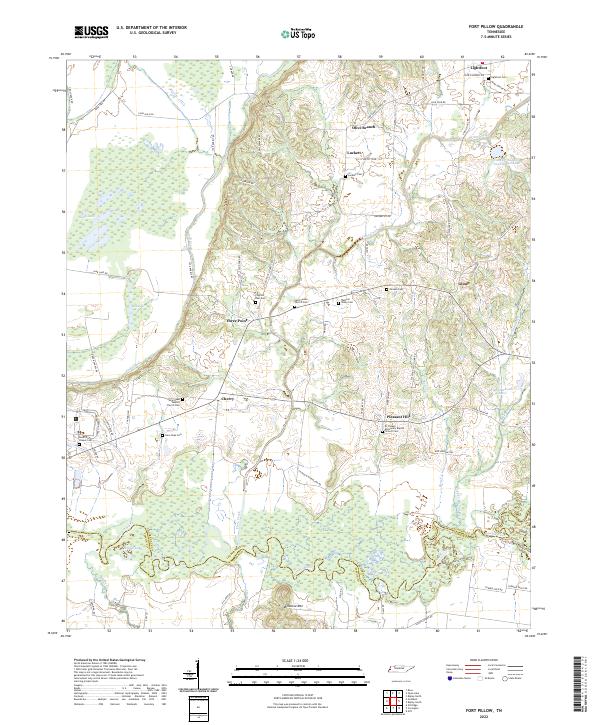
1972 Fort Pillow
Lauderdale County, TN
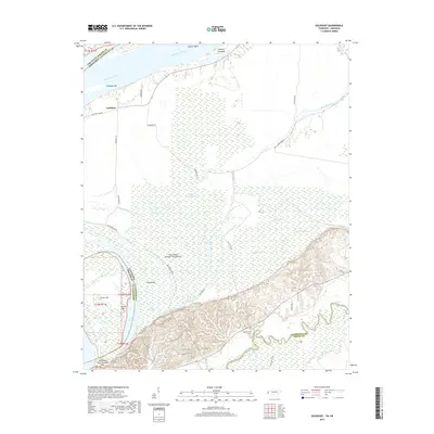
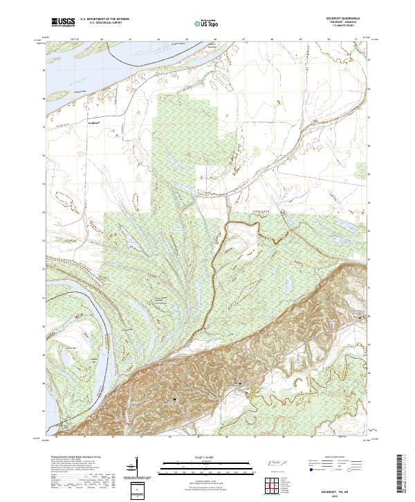
1972 Golddust
Lauderdale County, TN
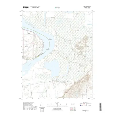
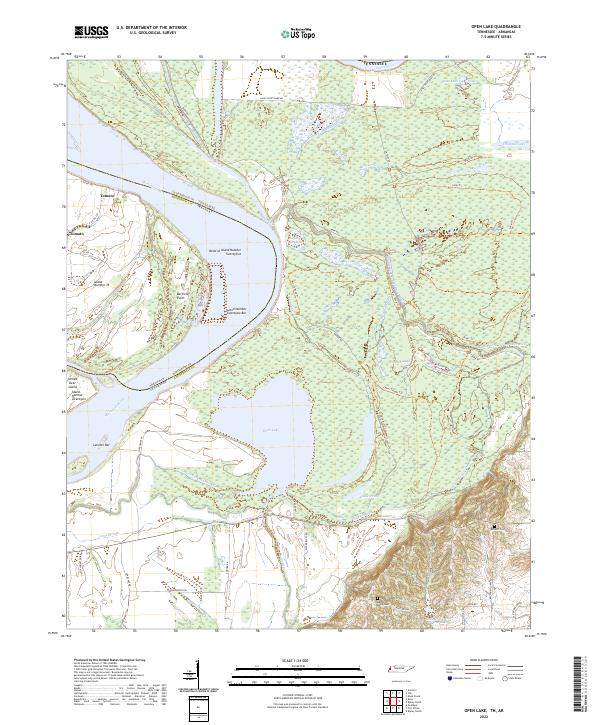
1972 Open Lake
Lauderdale County, TN
1972 Ripley North
Lauderdale County, TN
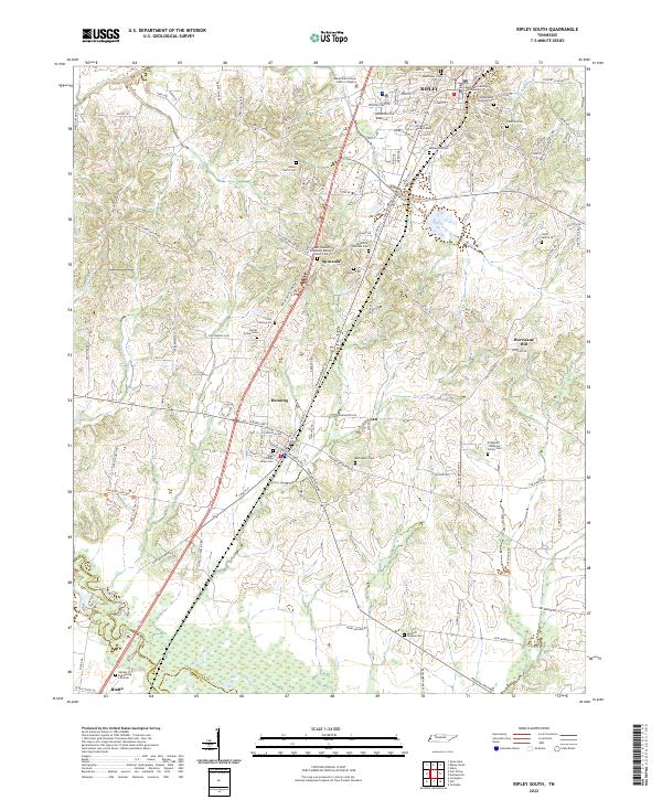
1972 Ripley South
Lauderdale County, TN
1977 Hales Point
Lauderdale County, TN
2010 Fort Pillow
Lauderdale County, TN
2010 Ripley North
Lauderdale County, TN
2010 Ripley South
Lauderdale County, TN
2011 Golddust
Lauderdale County, TN
2011 Open Lake
Lauderdale County, TN
2013 Fort Pillow
Lauderdale County, TN
2013 Golddust
Lauderdale County, TN
2013 Open Lake
Lauderdale County, TN
2013 Ripley North
Lauderdale County, TN
2013 Ripley South
Lauderdale County, TN
2016 Fort Pillow
Lauderdale County, TN
2016 Golddust
Lauderdale County, TN
2016 Open Lake
Lauderdale County, TN
2016 Ripley North
Lauderdale County, TN
2016 Ripley South
Lauderdale County, TN
2019 Fort Pillow
Lauderdale County, TN
2019 Golddust
Lauderdale County, TN
2019 Open Lake
Lauderdale County, TN

2019 Ripley North
Lauderdale County, TN
2019 Ripley South
Lauderdale County, TN
2022 Fort Pillow
Lauderdale County, TN
2022 Golddust
Lauderdale County, TN
2022 Open Lake
Lauderdale County, TN
2022 Ripley North
Lauderdale County, TN
2022 Ripley South
Lauderdale County, TN