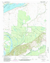
1972 Map of Golddust
USGS Topo · Published 1983About this map
The Mississippi River creates a dynamic border between Tennessee and Arkansas in this 1970s survey, defining a landscape of shifting channels and low-lying bottomlands. Near the river's edge, the small settlement of Golddust sits adjacent to the Bethlehem Ch, representing the local community hub in this river-oriented region. Much of the interior is dominated by the Anderson-Tully State Wildlife Management Area, a complex network of sloughs and ponds including Whale Pond, Otter Pond, and Roney Pond. To the south, the bluffs rise significantly at Chickasaw Bluff No 1, where the Fort Pillow State Historic Area preserves the site of Breastworks near the confluence of the Hatchie River. This topographic record details the intricate water systems of Flour Island No 33 and Heathright Pocket, highlighting how the river's historical movements have shaped the political and natural boundaries of Lauderdale County.
Find a feature on this map
39 named features on this map. Tap any name to fly to it.
Don’t see what you’re looking for? This feature index may not catch every label — zoom into the map to look around manually.
Map Details
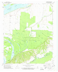
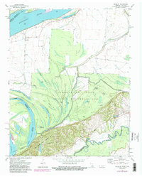
Editions of this 1972 Golddust Map
3 editions found
Other maps of this area

1939 · Hales Point
USGS Topo · 1:62,500

1939 · Blytheville
USGS Topo · 1:62,500

1952 · Hales Point
USGS Topo · 1:62,500

1955 · Blytheville
USGS Topo · 1:62,500

1956 · Blytheville
USGS Topo · 1:250,000

1959 · Blytheville
USGS Topo · 1:250,000

1961 · Hales Point
USGS Topo · 1:62,500

1961 · Rialto
USGS Topo · 1:62,500

1962 · Rialto
USGS Topo · 1:62,500

1962 · Hales Point
USGS Topo · 1:62,500