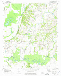
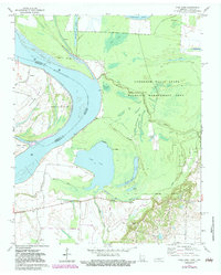
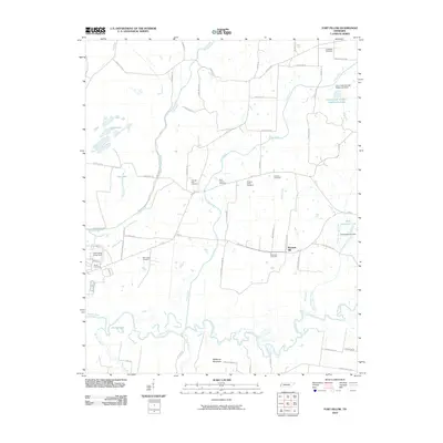
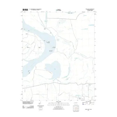
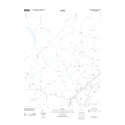
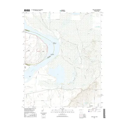
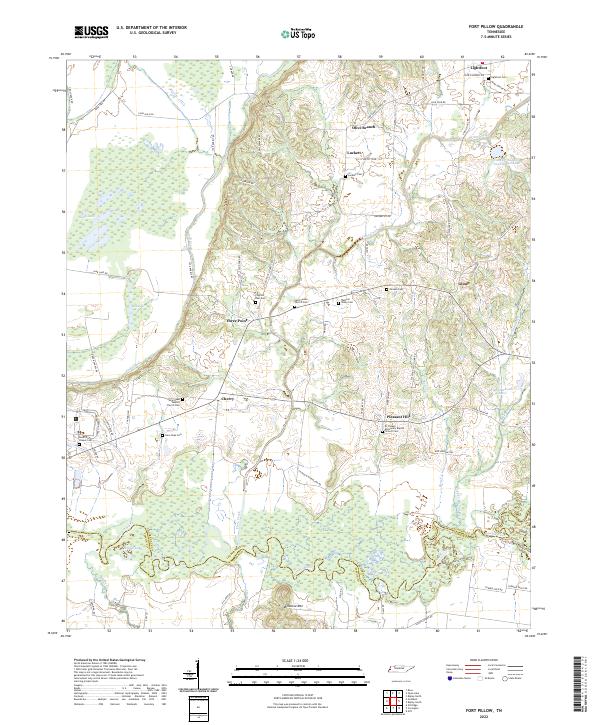
1972 Map of Fort Pillow
USGS Topo · Published 1974About this map
The Hatchie River meanders through the southern reaches of this landscape, defining the Lauderdale and Tipton county boundary amidst a series of oxbows and wetlands like Round Lake. To the north, the sprawling Fort Pillow State Farm occupies a significant portion of the river bluffs, situated near the Fort Pillow settlement and its nearby Radio Tower. This 1970s survey captures a rural network of small communities and crossroads, including Cherry, Glimp, and Three Point, each connected by a web of light-duty roads and unimproved tracks.
Find a feature on this map
39 named features on this map. Tap any name to fly to it.
Don’t see what you’re looking for? This feature index may not catch every label — zoom into the map to look around manually.
Map Details
Editions of this 1972 Fort Pillow Map
This is the sole edition of this map. No revisions or reprints were ever made.
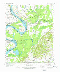
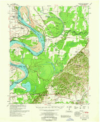
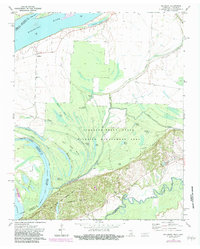
Historical Maps of Fort Pillow Through Time
33 maps found
1961 Hales Point
Lauderdale County, TN
1962 Hales Point
Lauderdale County, TN
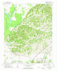
1972 Fort Pillow
Lauderdale County, TN
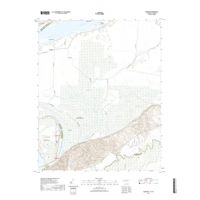
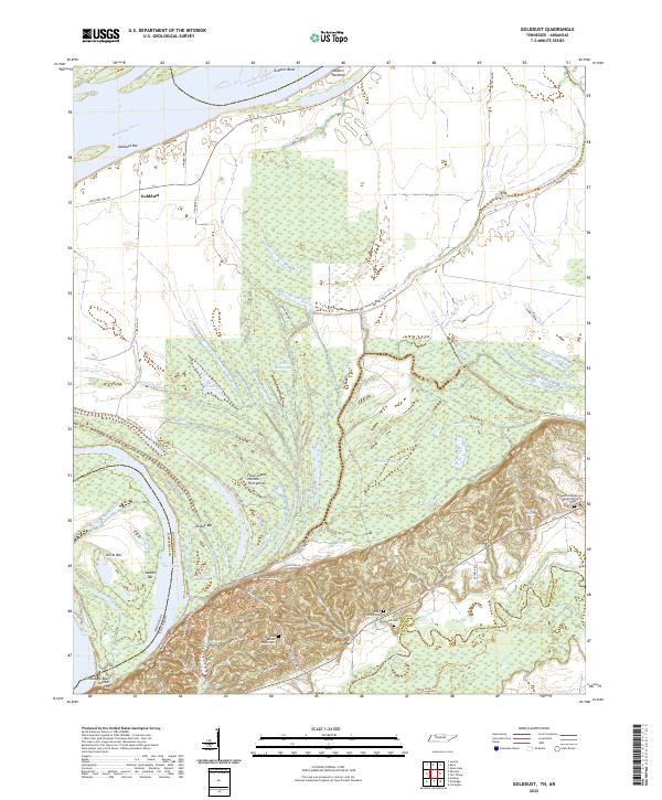
1972 Golddust
Lauderdale County, TN
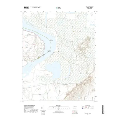
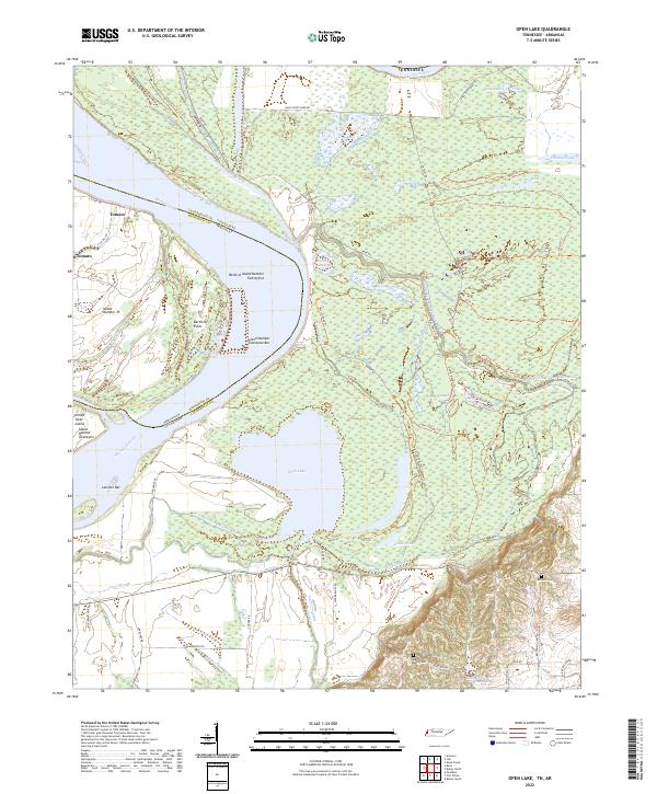
1972 Open Lake
Lauderdale County, TN
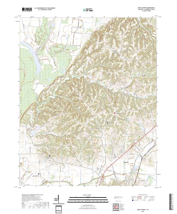
1972 Ripley North
Lauderdale County, TN
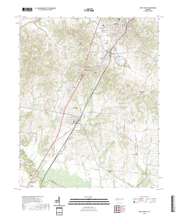
1972 Ripley South
Lauderdale County, TN
1977 Hales Point
Lauderdale County, TN
2010 Fort Pillow
Lauderdale County, TN
2010 Ripley North
Lauderdale County, TN
2010 Ripley South
Lauderdale County, TN
2011 Golddust
Lauderdale County, TN
2011 Open Lake
Lauderdale County, TN
2013 Fort Pillow
Lauderdale County, TN
2013 Golddust
Lauderdale County, TN
2013 Open Lake
Lauderdale County, TN
2013 Ripley North
Lauderdale County, TN
2013 Ripley South
Lauderdale County, TN
2016 Fort Pillow
Lauderdale County, TN
2016 Golddust
Lauderdale County, TN
2016 Open Lake
Lauderdale County, TN
2016 Ripley North
Lauderdale County, TN
2016 Ripley South
Lauderdale County, TN
2019 Fort Pillow
Lauderdale County, TN
2019 Golddust
Lauderdale County, TN
2019 Open Lake
Lauderdale County, TN

2019 Ripley North
Lauderdale County, TN
2019 Ripley South
Lauderdale County, TN
2022 Fort Pillow
Lauderdale County, TN
2022 Golddust
Lauderdale County, TN
2022 Open Lake
Lauderdale County, TN
2022 Ripley North
Lauderdale County, TN
2022 Ripley South
Lauderdale County, TN