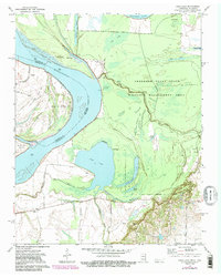
1972 Map of Open Lake
USGS Topo · Published 1983About this map
Mississippi River meanders define the border between Lauderdale County, Tennessee, and Mississippi County, Arkansas, during this early 1970s survey. The landscape is dominated by the dense hydrological network of the Anderson-Tully State Wildlife Management Area, where the Forked Deer River and its various distributaries like Rush Slough and Coker Slough weave through bottomland terrain. The expansive waters of Open Lake sit at the center of the sheet, fed by the Right Hand Arm and adjacent to the Goose Pond wetlands.
Find a feature on this map
33 named features on this map. Tap any name to fly to it.
Don’t see what you’re looking for? This feature index may not catch every label — zoom into the map to look around manually.
Map Details
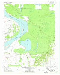
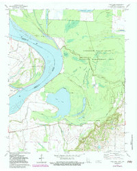
Editions of this 1972 Open Lake Map
3 editions found
Other maps of this area

1939 · Hales Point
USGS Topo · 1:62,500

1939 · Blytheville
USGS Topo · 1:62,500

1952 · Hales Point
USGS Topo · 1:62,500

1955 · Blytheville
USGS Topo · 1:62,500

1956 · Blytheville
USGS Topo · 1:250,000

1959 · Blytheville
USGS Topo · 1:250,000

1961 · Hales Point
USGS Topo · 1:62,500

1961 · Rialto
USGS Topo · 1:62,500

1962 · Rialto
USGS Topo · 1:62,500

1962 · Hales Point
USGS Topo · 1:62,500